Schnaittach night lights from space
Night Light of Schnaittach (Bavaria) from space (Germany) Src. Average luminocity for 10x10km area is 6.5868% and for 50x50km: 10.1741%.
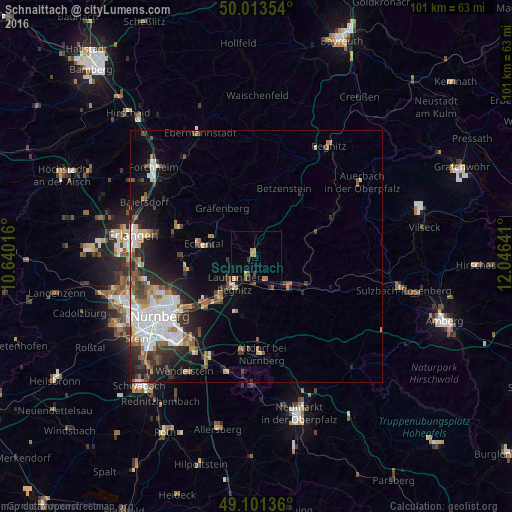
Analysis of Schnaittach night lights 2016
Square area 10x10 km:
 0%
0%90-99
0%80-89
0.98%70-79
1.4%60-69
2.38%50-59
1.68%40-49
0.42%30-39
0.7%20-29
0.14%10-19
0.42%0-9
91.88%Square area 50x50 km:
2.31%90-99
1.87%80-89
0.78%70-79
0.88%60-69
1.16%50-59
1.41%40-49
1.25%30-39
1.53%20-29
3.01%10-19
4.61%0-9
81.2%Clear (daylight) street map image can be seen on geolist.org.
Map coordinates:
50° 0' 48.7" North, 10° 38' 24.6" East
49° 33' 34.5" North, 11° 20' 35.8" East
49° 6' 4.9" North, 12° 2' 47.1" East
Some cities around Schnaittach sort by population:
• Lauf an der Pegnitz
6.7 km =4.2 mi,  220°
220°
• Hersbruck
8.4 km =5.2 mi,  130°
130°
• Röthenbach an der Pegnitz
11.3 km =7 mi, 220°
• Schwaig
14.4 km =8.9 mi,  225°
225°
• Neunkirchen am Brand
16.5 km =10.3 mi,  290°
290°
• Heroldsberg
13.9 km =8.6 mi,  257°
257°
• Leinburg
12.2 km =7.6 mi,  191°
191°
• Pommelsbrunn
13.6 km =8.5 mi,  116°
116°
2837572 (p: 8,238)
Sources (retrieved 2019-11-25):
» Earth at Night: Flat Maps 2012, 2016