Rheinsberg night lights from space
Night Light of Rheinsberg (Brandenburg) from space (Germany) Src. Average luminocity for 10x10km area is 0.8214% and for 50x50km: 0.4593%.
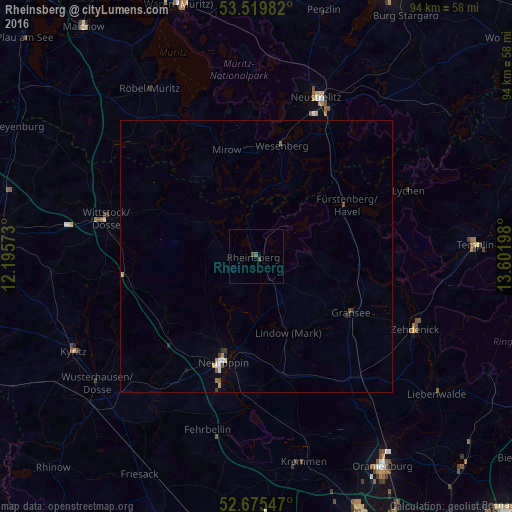
Analysis of Rheinsberg night lights 2016
Square area 10x10 km:
 0%
0%90-99
0%80-89
0%70-79
0%60-69
0%50-59
0.4%40-49
1.19%30-39
0%20-29
0%10-19
0%0-9
98.41%Square area 50x50 km:
0.07%90-99
0.06%80-89
0.01%70-79
0.09%60-69
0.03%50-59
0.08%40-49
0.13%30-39
0.05%20-29
0.06%10-19
0.09%0-9
99.34%Clear (daylight) street map image can be seen on geolist.org.
Map coordinates:
53° 31' 11.4" North, 12° 11' 44.6" East
53° 5' 59" North, 12° 53' 55.9" East
52° 40' 31.7" North, 13° 36' 7.1" East
Some cities around Rheinsberg sort by population:
• Neuruppin
20.1 km =12.5 mi,  198°
198°
• Neustrelitz
31.3 km =19.4 mi,  21°
21°
• Wittstock
28.6 km =17.8 mi,  283°
283°
• Zehdenick
31.9 km =19.8 mi,  114°
114°
• Fehrbellin
33.1 km =20.6 mi, 195°
• Fürstenberg
18.9 km =11.7 mi,  60°
60°
• Gransee
20.1 km =12.5 mi,  120°
120°
• Röbel
36.4 km =22.6 mi,  327°
327°
2847612 (p: 9,113)
Sources (retrieved 2019-11-25):
» Earth at Night: Flat Maps 2012, 2016