Pankow night lights from space
Night Light of Pankow (Berlin) from space (Germany) Src. Average luminocity for 10x10km area is 89.8452% and for 50x50km: 36.4667%.
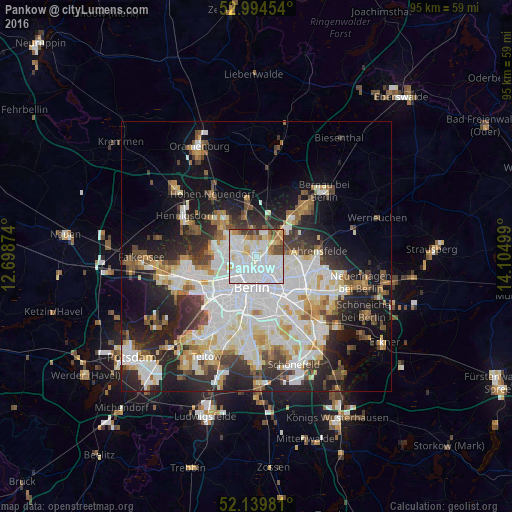
Analysis of Pankow night lights 2016
Square area 10x10 km:
 45.37%
90-99
27.78%80-89
6.88%70-79
5.42%60-69
4.37%50-59
3.97%40-49
4.5%30-39
1.72%20-29
0%10-19
0%0-9
0%Square area 50x50 km:
10.74%90-99
9.25%80-89
3.56%70-79
2.96%60-69
3.17%50-59
3.31%40-49
3.87%30-39
4.35%20-29
8.16%10-19
12.6%0-9
38.03%Clear (daylight) street map image can be seen on geolist.org.
Map coordinates:
52° 59' 40.3" North, 12° 41' 55.5" East
52° 34' 9.3" North, 13° 24' 6.7" East
52° 8' 23.3" North, 14° 6' 18" East
Some cities around Pankow sort by population:
• Prenzlauer Berg
3.7 km =2.3 mi,  155°
155°
• Gesundbrunnen
2.2 km =1.4 mi,  198°
198°
• Wedding
3.9 km =2.4 mi,  231°
231°
• Niederschönhausen
1.7 km =1.1 mi,  1°
1°
• Französisch Buchholz
4.2 km =2.6 mi,  27°
27°
• Rosenthal
3.8 km =2.4 mi,  334°
334°
• Wilhelmsruh
3 km =1.9 mi,  311°
311°
• Heinersdorf
2.4 km =1.5 mi,  83°
83°
2855598 (p: 57,113)
Sources (retrieved 2019-11-25):
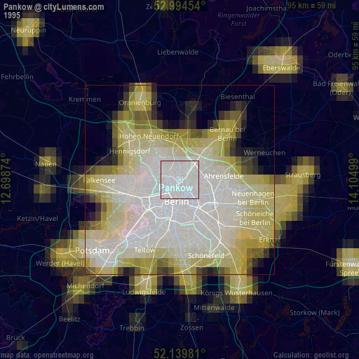
» NASA, Earths city lights 1995
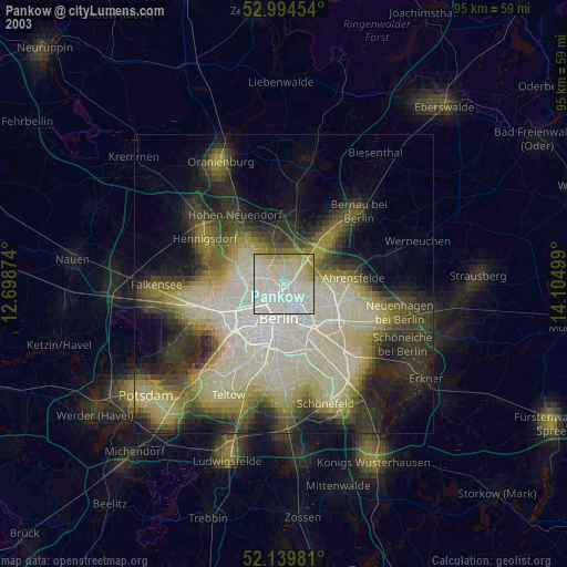
» NASA city lights 2003
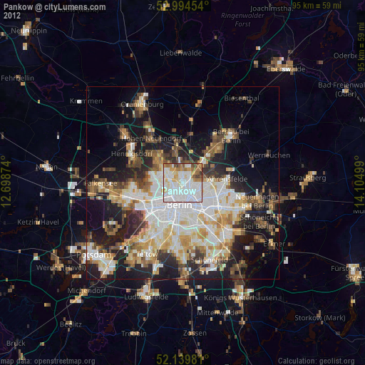
» Earth at Night: Flat Maps 2012, 2016