Regensburg night lights from space
Night Light of Regensburg (Bavaria) from space (Germany) Src. Average luminocity for 10x10km area is 58.9926% and for 50x50km: 5.293%.
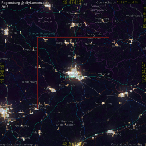
Analysis of Regensburg night lights 2016
Square area 10x10 km:
 18.6%
18.6%90-99
18.75%80-89
3.13%70-79
3.87%60-69
4.17%50-59
4.46%40-49
5.21%30-39
6.4%20-29
19.2%10-19
15.03%0-9
1.19%Square area 50x50 km:
0.93%90-99
1.12%80-89
0.41%70-79
0.45%60-69
0.46%50-59
0.58%40-49
0.84%30-39
0.47%20-29
1.54%10-19
3.24%0-9
89.95%Clear (daylight) street map image can be seen on geolist.org.
Map coordinates:
49° 28' 26.9" North, 11° 23' 54.6" East
49° 0' 54.5" North, 12° 6' 5.8" East
48° 33' 6.6" North, 12° 48' 17.1" East
Some cities around Regensburg sort by population:
• Lappersdorf
3.6 km =2.2 mi,  348°
348°
• Neutraubling
7.9 km =4.9 mi,  113°
113°
• Bad Abbach
9.6 km =6 mi,  205°
205°
• Reinhausen
2 km =1.2 mi,  25°
25°
• Obertraubling
7.2 km =4.5 mi,  138°
138°
• Sinzing
5.3 km =3.3 mi,  251°
251°
• Zeitlarn
7.1 km =4.4 mi,  5°
5°
• Pentling
4.7 km =2.9 mi,  221°
221°
2849483 (p: 129,151)
Sources (retrieved 2019-11-25):
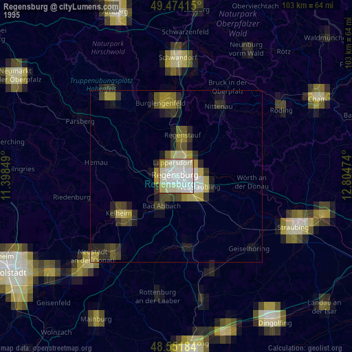
» NASA, Earths city lights 1995
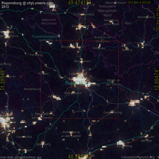
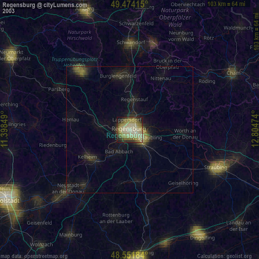
» NASA city lights 2003
» Earth at Night: Flat Maps 2012, 2016