Peiting night lights from space
Night Light of Peiting (Bavaria) from space (Germany) Src. Average luminocity for 10x10km area is 8.0908% and for 50x50km: 1.8349%.
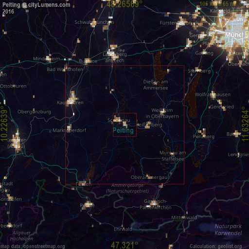
Analysis of Peiting night lights 2016
Square area 10x10 km:
 0.45%
0.45%90-99
0.15%80-89
0.74%70-79
0.45%60-69
4.76%50-59
2.38%40-49
1.19%30-39
0%20-29
0.6%10-19
0.45%0-9
88.84%Square area 50x50 km:
0.11%90-99
0.17%80-89
0.18%70-79
0.26%60-69
0.39%50-59
0.3%40-49
0.32%30-39
0.41%20-29
0.41%10-19
0.64%0-9
96.82%Clear (daylight) street map image can be seen on geolist.org.
Map coordinates:
48° 15' 56.5" North, 10° 13' 35" East
47° 47' 43.8" North, 10° 55' 46.2" East
47° 19' 15.6" North, 11° 37' 57.5" East
Some cities around Peiting sort by population:
• Kaufbeuren
24.9 km =15.5 mi,  292°
292°
• Weilheim
17.6 km =10.9 mi,  73°
73°
• Marktoberdorf
23.4 km =14.5 mi,  265°
265°
• Peißenberg
10.5 km =6.5 mi,  84°
84°
• Schongau
3.1 km =1.9 mi,  307°
307°
• Murnau am Staffelsee
24 km =14.9 mi,  122°
122°
• Dießen am Ammersee
21.6 km =13.4 mi,  36°
36°
• Oberammergau
24.2 km =15 mi,  154°
154°
2855025 (p: 12,106)
Sources (retrieved 2019-11-25):
» Earth at Night: Flat Maps 2012, 2016