Weilheim night lights from space
Night Light of Weilheim (Bavaria) from space (Germany) Src. Average luminocity for 10x10km area is 3.1027% and for 50x50km: 1.9954%.
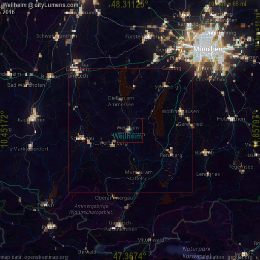
Analysis of Weilheim night lights 2016
Square area 10x10 km:
 0%
0%90-99
1.04%80-89
0.15%70-79
0.15%60-69
0.6%50-59
0.45%40-49
0.74%30-39
0.6%20-29
0.45%10-19
0.6%0-9
95.24%Square area 50x50 km:
0.09%90-99
0.18%80-89
0.26%70-79
0.2%60-69
0.43%50-59
0.42%40-49
0.31%30-39
0.24%20-29
0.49%10-19
0.75%0-9
96.61%Clear (daylight) street map image can be seen on geolist.org.
Map coordinates:
48° 18' 40.5" North, 10° 27' 6.2" East
47° 50' 29.3" North, 11° 9' 17.4" East
47° 22' 2.6" North, 11° 51' 28.7" East
Some cities around Weilheim sort by population:
• Penzberg
19.3 km =12 mi,  120°
120°
• Peißenberg
7.5 km =4.7 mi,  237°
237°
• Peiting
17.6 km =10.9 mi,  253°
253°
• Murnau am Staffelsee
18.2 km =11.3 mi,  169°
169°
• Dießen am Ammersee
12.8 km =8 mi,  342°
342°
• Herrsching am Ammersee
17.6 km =10.9 mi,  5°
5°
• Tutzing
12 km =7.5 mi,  51°
51°
• Pöcking
17.6 km =10.9 mi,  37°
37°
2812515 (p: 21,401)
Sources (retrieved 2019-11-25):
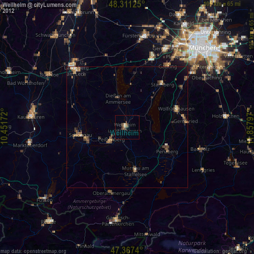
» Earth at Night: Flat Maps 2012, 2016