Ortenburg night lights from space
Night Light of Ortenburg (Bavaria) from space (Germany) Src. Average luminocity for 10x10km area is 0.2485% and for 50x50km: 2.2949%.
Analysis of Ortenburg night lights 2016
Square area 10x10 km:
 0%
0%90-99
0%80-89
0%70-79
0%60-69
0%50-59
0%40-49
0.45%30-39
0.15%20-29
0%10-19
0%0-9
99.4%Square area 50x50 km:
0.18%90-99
0.29%80-89
0.26%70-79
0.26%60-69
0.21%50-59
0.45%40-49
0.46%30-39
0.54%20-29
0.31%10-19
1.29%0-9
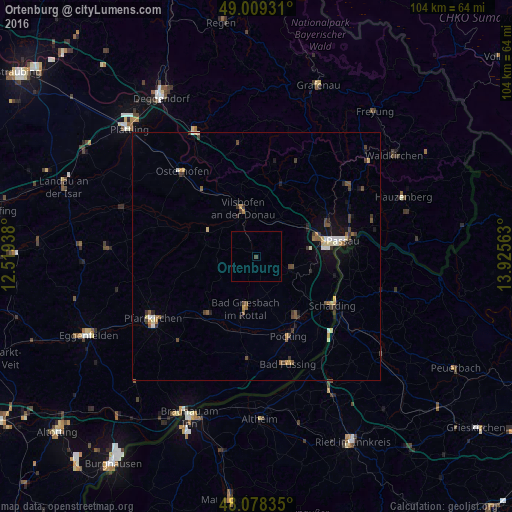
95.76%Clear (daylight) street map image can be seen on geolist.org.
Map coordinates:
49° 0' 33.5" North, 12° 31' 9.8" East
48° 32' 45.5" North, 13° 13' 21" East
48° 4' 42.1" North, 13° 55' 32.3" East
Some cities around Ortenburg sort by population:
• Passau
15.5 km =9.6 mi,  81°
81°
• Vilshofen
9.3 km =5.8 mi,  346°
346°
• Pocking
17.4 km =10.8 mi,  157°
157°
• Bad Griesbach
10.7 km =6.6 mi,  191°
191°
• Fürstenzell
7.5 km =4.7 mi,  111°
111°
• Salzweg
20.7 km =12.9 mi,  67°
67°
• Bad Birnbach
14.8 km =9.2 mi,  220°
220°
• Rotthalmünster
20.9 km =13 mi,  184°
184°
2857011 (p: 7,317)
Sources (retrieved 2019-11-25):
» Earth at Night: Flat Maps 2012, 2016