Passau night lights from space
Night Light of Passau (Bavaria) from space (Germany) Src. Average luminocity for 10x10km area is 21.9896% and for 50x50km: 1.9793%.
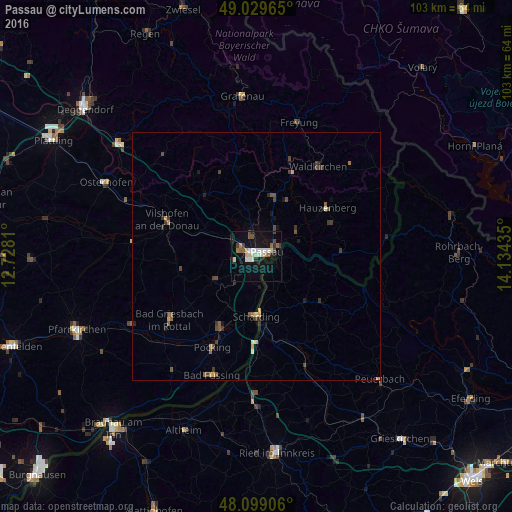
Analysis of Passau night lights 2016
Square area 10x10 km:
 2.98%
2.98%90-99
4.76%80-89
3.42%70-79
0.74%60-69
1.49%50-59
3.42%40-49
2.23%30-39
2.83%20-29
1.64%10-19
24.55%0-9
51.93%Square area 50x50 km:
0.12%90-99
0.25%80-89
0.2%70-79
0.21%60-69
0.17%50-59
0.38%40-49
0.47%30-39
0.58%20-29
0.3%10-19
1.3%0-9
96.03%Clear (daylight) street map image can be seen on geolist.org.
Map coordinates:
49° 1' 46.7" North, 12° 43' 41.2" East
48° 33' 59.4" North, 13° 25' 52.4" East
48° 5' 56.6" North, 14° 8' 3.7" East
Some cities around Passau sort by population:
• Vilshofen
18.8 km =11.7 mi,  290°
290°
• Pocking
20.3 km =12.6 mi,  205°
205°
• Hauzenberg
17.1 km =10.6 mi,  57°
57°
• Fürstenzell
9.7 km =6 mi,  239°
239°
• Ortenburg
15.5 km =9.6 mi,  261°
261°
• Salzweg
6.8 km =4.2 mi,  34°
34°
• Untergriesbach
17.4 km =10.8 mi,  87°
87°
• Hutthurm
12.2 km =7.6 mi,  14°
14°
2855328 (p: 50,560)
Sources (retrieved 2019-11-25):
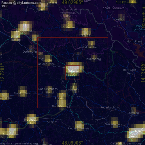
» NASA, Earths city lights 1995
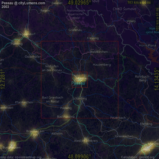
» NASA city lights 2003
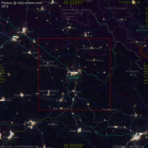
» Earth at Night: Flat Maps 2012, 2016