Neu Wulmstorf night lights from space
Night Light of Neu Wulmstorf (Lower Saxony) from space (Germany) Src. Average luminocity for 10x10km area is 14.6627% and for 50x50km: 20.7755%.
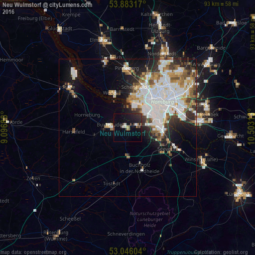
Analysis of Neu Wulmstorf night lights 2016
Square area 10x10 km:
 0.93%
0.93%90-99
2.78%80-89
0.79%70-79
0.53%60-69
1.32%50-59
2.38%40-49
1.06%30-39
1.72%20-29
6.61%10-19
15.61%0-9
66.27%Square area 50x50 km:
6.77%90-99
4.92%80-89
1.27%70-79
1.81%60-69
2.4%50-59
1.87%40-49
2.11%30-39
2.04%20-29
3.41%10-19
6.51%0-9
66.87%Clear (daylight) street map image can be seen on geolist.org.
Map coordinates:
53° 52' 59.4" North, 9° 5' 48.8" East
53° 28' 0" North, 9° 48' 0" East
53° 2' 45.7" North, 10° 30' 11.3" East
Some cities around Neu Wulmstorf sort by population:
• Altona
12.8 km =8 mi,  43°
43°
• Harburg
12.2 km =7.6 mi,  93°
93°
• Seevetal
13.3 km =8.3 mi,  123°
123°
• Buxtehude
7.5 km =4.7 mi,  270°
270°
• Ottensen
12.1 km =7.5 mi, 39°
• Wedel
14.6 km =9.1 mi,  332°
332°
• St. Pauli
14.8 km =9.2 mi,  47°
47°
• Jork
10.7 km =6.6 mi,  312°
312°
2863795 (p: 20,150)
Sources (retrieved 2019-11-25):
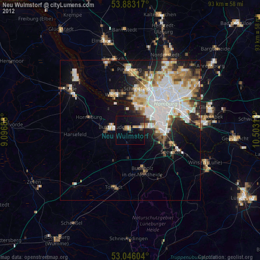
» Earth at Night: Flat Maps 2012, 2016