Buxtehude night lights from space
Night Light of Buxtehude (Lower Saxony) from space (Germany) Src. Average luminocity for 10x10km area is 9.4034% and for 50x50km: 16.1223%.
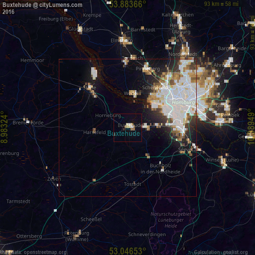
Analysis of Buxtehude night lights 2016
Square area 10x10 km:
 0.66%
0.66%90-99
2.25%80-89
0.93%70-79
0.93%60-69
2.12%50-59
1.06%40-49
0%30-39
0.13%20-29
0.93%10-19
0.79%0-9
90.21%Square area 50x50 km:
5.74%90-99
3.82%80-89
0.91%70-79
1.21%60-69
1.73%50-59
1.21%40-49
1.45%30-39
1.42%20-29
2.4%10-19
5.46%0-9
74.66%Clear (daylight) street map image can be seen on geolist.org.
Map coordinates:
53° 53' 1.2" North, 8° 58' 59.7" East
53° 28' 1.8" North, 9° 41' 10.9" East
53° 2' 47.5" North, 10° 23' 22.2" East
Some cities around Buxtehude sort by population:
• Altona
18.7 km =11.6 mi,  60°
60°
• Ottensen
17.8 km =11.1 mi, 58°
• Wedel
13 km =8.1 mi,  3°
3°
• Neu Wulmstorf
7.5 km =4.7 mi,  90°
90°
• Harsefeld
12.2 km =7.6 mi,  263°
263°
• Jork
7.2 km =4.5 mi,  357°
357°
• Horneburg
8.6 km =5.3 mi,  300°
300°
• Ahlerstedt
17.3 km =10.7 mi,  244°
244°
2940451 (p: 38,192)
Sources (retrieved 2019-11-25):
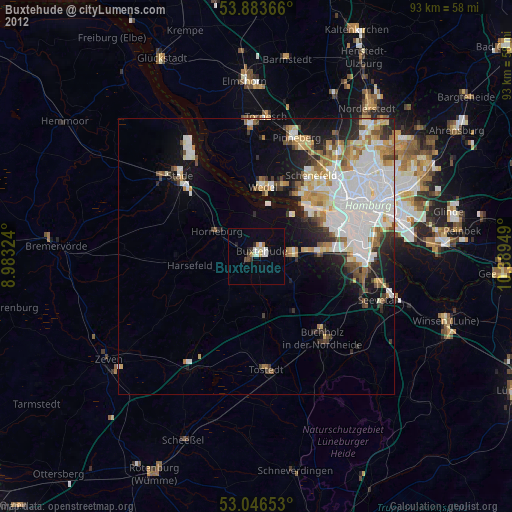
» Earth at Night: Flat Maps 2012, 2016