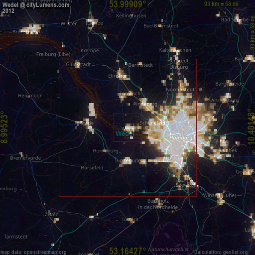
Wedel night lights from space
Night Light of Wedel (Schleswig-Holstein) from space (Germany) Src. Average luminocity for 10x10km area is 9.0215% and for 50x50km: 18.9937%.
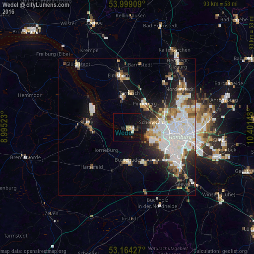
Analysis of Wedel night lights 2016
Square area 10x10 km:
 0.63%
0.63%90-99
0.88%80-89
1.77%70-79
1.26%60-69
0.51%50-59
0.51%40-49
2.02%30-39
1.01%20-29
0.13%10-19
2.65%0-9
88.64%Square area 50x50 km:
6.03%90-99
4.29%80-89
1.27%70-79
1.5%60-69
2.03%50-59
1.52%40-49
2.04%30-39
1.72%20-29
2.95%10-19
8.5%0-9
68.15%Clear (daylight) street map image can be seen on geolist.org.
Map coordinates:
53° 59' 56.7" North, 8° 59' 42.8" East
53° 35' 1.5" North, 9° 41' 54.1" East
53° 9' 51.4" North, 10° 24' 5.3" East
Some cities around Wedel sort by population:
• Pinneberg
11.1 km =6.9 mi,  32°
32°
• Lurup
11.8 km =7.3 mi,  85°
85°
• Uetersen
11.8 km =7.3 mi,  348°
348°
• Halstenbek
11.4 km =7.1 mi,  61°
61°
• Rellingen
10.7 km =6.6 mi,  46°
46°
• Jork
5.9 km =3.7 mi,  191°
191°
• Appen
8.8 km =5.5 mi,  20°
20°
• Horneburg
11.8 km =7.3 mi,  223°
223°
2813464 (p: 31,995)
Sources (retrieved 2019-11-25):
» Earth at Night: Flat Maps 2012, 2016