Dillingen night lights from space
Night Light of Dillingen (Saarland) from space (Germany) Src. Average luminocity for 10x10km area is 33.8676% and for 50x50km: 13.6927%.
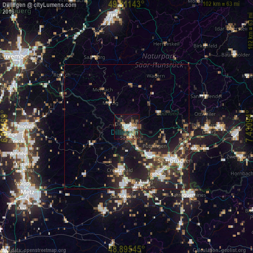
Analysis of Dillingen night lights 2016
Square area 10x10 km:
 6.28%
6.28%90-99
6.02%80-89
2.67%70-79
2.94%60-69
4.28%50-59
5.08%40-49
6.55%30-39
4.28%20-29
11.23%10-19
26.47%0-9
24.2%Square area 50x50 km:
2.14%90-99
2.24%80-89
0.83%70-79
1.12%60-69
1.78%50-59
2.09%40-49
2.31%30-39
2.84%20-29
6.2%10-19
9.47%0-9
68.99%Clear (daylight) street map image can be seen on geolist.org.
Map coordinates:
49° 48' 41.1" North, 6° 1' 28.9" East
49° 21' 20.1" North, 6° 43' 40.1" East
48° 53' 43.6" North, 7° 25' 51.4" East
Some cities around Dillingen sort by population:
• Saarlouis
5 km =3.1 mi,  159°
159°
• Schwalbach
8.9 km =5.5 mi,  133°
133°
• Beckingen
5.3 km =3.3 mi,  337°
337°
• Saarwellingen
5.6 km =3.5 mi,  91°
91°
• Wallerfangen
3.4 km =2.1 mi,  201°
201°
• Nalbach
5.1 km =3.2 mi,  52°
52°
• Bous
10.2 km =6.3 mi,  148°
148°
• Ensdorf
7.4 km =4.6 mi, 146°
2936977 (p: 21,526)
Sources (retrieved 2019-11-25):
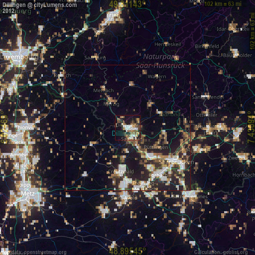
» Earth at Night: Flat Maps 2012, 2016