Markkleeberg night lights from space
Night Light of Markkleeberg (Saxony) from space (Germany) Src. Average luminocity for 10x10km area is 33.7731% and for 50x50km: 12.1455%.
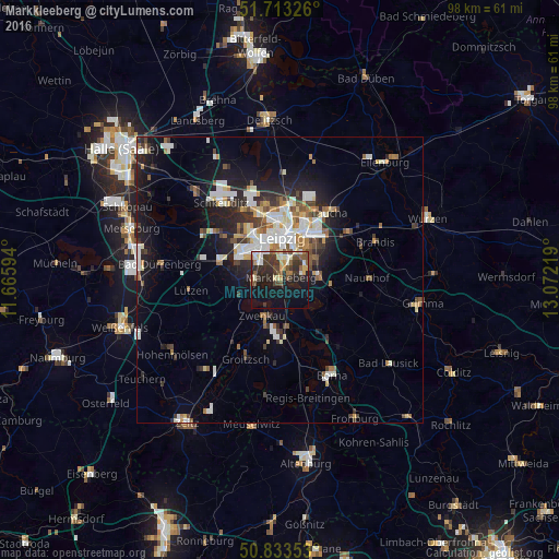
Analysis of Markkleeberg night lights 2016
Square area 10x10 km:
 2.52%
2.52%90-99
6.3%80-89
3.92%70-79
3.36%60-69
3.08%50-59
6.16%40-49
5.88%30-39
11.76%20-29
10.64%10-19
24.93%0-9
21.43%Square area 50x50 km:
2.2%90-99
2.58%80-89
1.06%70-79
0.99%60-69
1.41%50-59
1.29%40-49
1.41%30-39
2.02%20-29
3.16%10-19
7.66%0-9
76.23%Clear (daylight) street map image can be seen on geolist.org.
Map coordinates:
51° 42' 47.7" North, 11° 39' 57.4" East
51° 16' 31.8" North, 12° 22' 8.6" East
50° 50' 0.7" North, 13° 4' 19.9" East
Some cities around Markkleeberg sort by population:
• Leipzig
7.1 km =4.4 mi,  1°
1°
• Taucha
14.4 km =8.9 mi,  33°
33°
• Markranstädt
10.7 km =6.6 mi,  285°
285°
• Zwenkau
6.9 km =4.3 mi,  203°
203°
• Borsdorf
14.1 km =8.8 mi,  54°
54°
• Groitzsch
14.6 km =9.1 mi, 204°
• Böhlen
8.4 km =5.2 mi,  171°
171°
• Großpösna
9.2 km =5.7 mi,  96°
96°
2873352 (p: 24,000)
Sources (retrieved 2019-11-25):
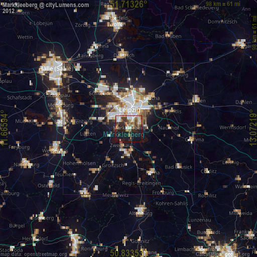
» Earth at Night: Flat Maps 2012, 2016