Lüneburg night lights from space
Night Light of Lüneburg (Lower Saxony) from space (Germany) Src. Average luminocity for 10x10km area is 25.7841% and for 50x50km: 2.6353%.
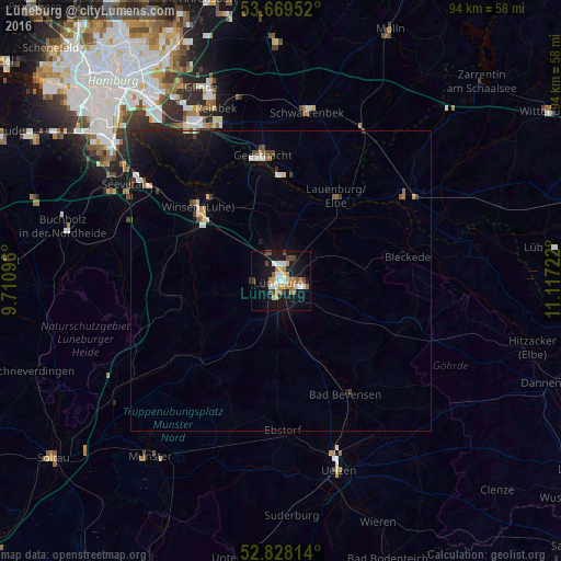
Analysis of Lüneburg night lights 2016
Square area 10x10 km:
 4.29%
4.29%90-99
3.41%80-89
3.16%70-79
3.28%60-69
5.3%50-59
1.77%40-49
4.42%30-39
1.39%20-29
0.25%10-19
31.82%0-9
40.91%Square area 50x50 km:
0.34%90-99
0.32%80-89
0.26%70-79
0.25%60-69
0.33%50-59
0.25%40-49
0.42%30-39
0.26%20-29
0.08%10-19
2.94%0-9
94.56%Clear (daylight) street map image can be seen on geolist.org.
Map coordinates:
53° 40' 10.3" North, 9° 42' 39.5" East
53° 15' 3.2" North, 10° 24' 50.7" East
52° 49' 41.3" North, 11° 7' 2" East
Some cities around Lüneburg sort by population:
• Winsen
17.9 km =11.1 mi,  311°
311°
• Geesthacht
20.7 km =12.9 mi,  353°
353°
• Lauenburg
16.5 km =10.3 mi,  35°
35°
• Adendorf
3.8 km =2.4 mi,  24°
24°
• Bleckede
21.7 km =13.5 mi,  78°
78°
• Bienenbüttel
13.1 km =8.1 mi,  158°
158°
• Reppenstedt
4.3 km =2.7 mi,  268°
268°
• Bardowick
5 km =3.1 mi,  339°
339°
2875115 (p: 71,260)
Sources (retrieved 2019-11-25):
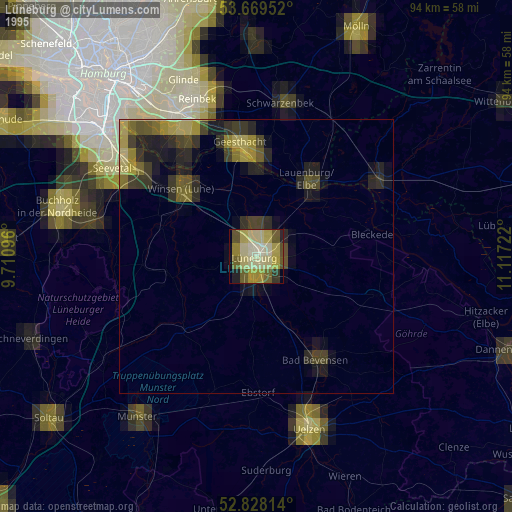
» NASA, Earths city lights 1995
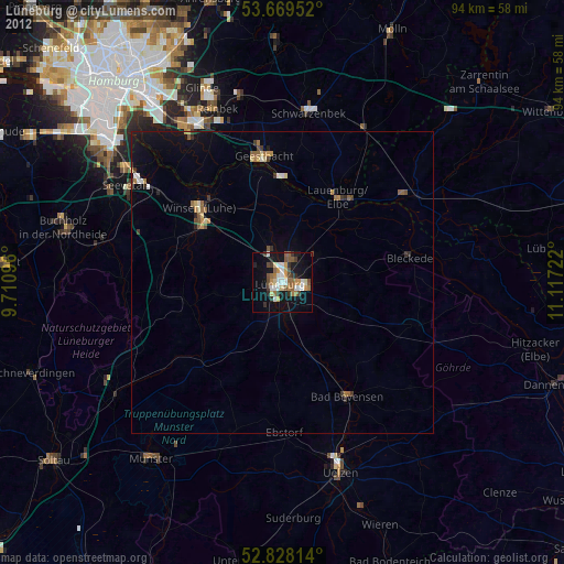
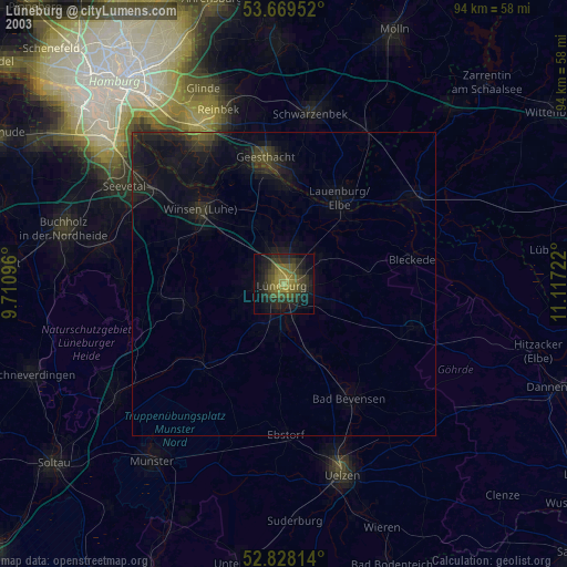
» NASA city lights 2003
» Earth at Night: Flat Maps 2012, 2016