Bienenbüttel night lights from space
Night Light of Bienenbüttel (Lower Saxony) from space (Germany) Src. Average luminocity for 10x10km area is 0.0669% and for 50x50km: 1.7012%.
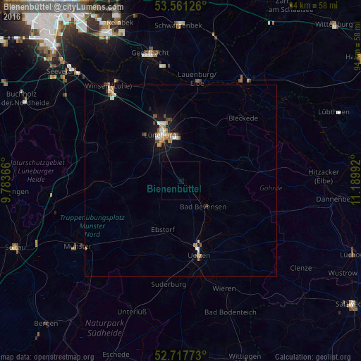
Analysis of Bienenbüttel night lights 2016
Square area 10x10 km:
 0%
0%90-99
0%80-89
0%70-79
0%60-69
0%50-59
0%40-49
0%30-39
0%20-29
0%10-19
0%0-9
100%Square area 50x50 km:
0.28%90-99
0.2%80-89
0.21%70-79
0.25%60-69
0.28%50-59
0.11%40-49
0.21%30-39
0.13%20-29
0.01%10-19
1.46%0-9
96.86%Clear (daylight) street map image can be seen on geolist.org.
Map coordinates:
53° 33' 40.5" North, 9° 47' 1.2" East
53° 8' 29.7" North, 10° 29' 12.4" East
52° 43' 3.8" North, 11° 11' 23.7" East
Some cities around Bienenbüttel sort by population:
• Lüneburg
13.1 km =8.1 mi,  338°
338°
• Uelzen
20.2 km =12.6 mi,  165°
165°
• Adendorf
15.9 km =9.9 mi,  348°
348°
• Bleckede
23.3 km =14.5 mi,  44°
44°
• Bad Bevensen
9.4 km =5.8 mi,  137°
137°
• Reppenstedt
15.1 km =9.4 mi,  322°
322°
• Bardowick
18.1 km =11.2 mi, 338°
• Ebstorf
13.4 km =8.3 mi,  199°
199°
2949150 (p: 6,775)
Sources (retrieved 2019-11-25):
» Earth at Night: Flat Maps 2012, 2016