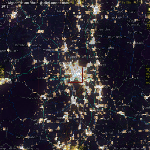
Ludwigshafen am Rhein night lights from space
Night Light of Ludwigshafen am Rhein (Rheinland-Pfalz) from space (Germany) Src. Average luminocity for 10x10km area is 87.6373% and for 50x50km: 25.0411%.
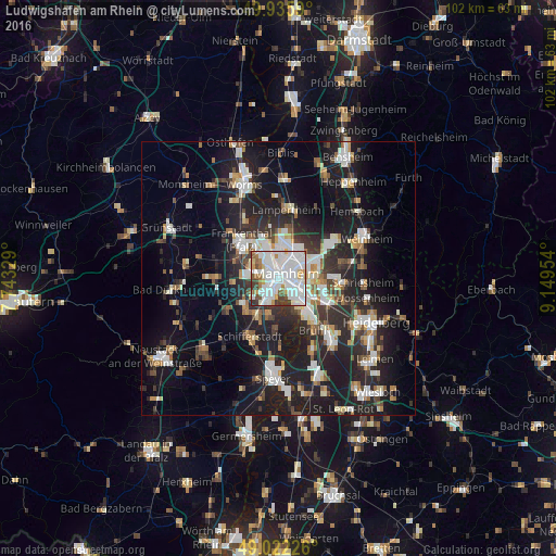
Analysis of Ludwigshafen am Rhein night lights 2016
Square area 10x10 km:
 37.96%
90-99
33.89%80-89
3.92%70-79
5.32%60-69
5.18%50-59
4.2%40-49
4.06%30-39
4.9%20-29
0.56%10-19
0%0-9
0%Square area 50x50 km:
4.68%90-99
5.27%80-89
2.02%70-79
1.9%60-69
2.58%50-59
2.58%40-49
2.89%30-39
3.44%20-29
9.58%10-19
20.09%0-9
44.96%Clear (daylight) street map image can be seen on geolist.org.
Map coordinates:
49° 56' 9.2" North, 7° 44' 35.8" East
49° 28' 52.4" North, 8° 26' 47.1" East
49° 1' 20.1" North, 9° 8' 58.3" East
Some cities around Ludwigshafen am Rhein sort by population:
• Mannheim
1.7 km =1.1 mi,  59°
59°
• Frankenthal
8.9 km =5.5 mi,  311°
311°
• Gartenstadt
3.9 km =2.4 mi,  231°
231°
• Mutterstadt
7.9 km =4.9 mi,  235°
235°
• Limburgerhof
7.4 km =4.6 mi,  211°
211°
• Altrip
6.2 km =3.9 mi,  145°
145°
• Ilvesheim
8.8 km =5.5 mi,  95°
95°
• Neuhofen
6.1 km =3.8 mi,  194°
194°
2875376 (p: 163,196)
Sources (retrieved 2019-11-25):
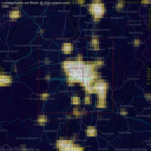
» NASA, Earths city lights 1995
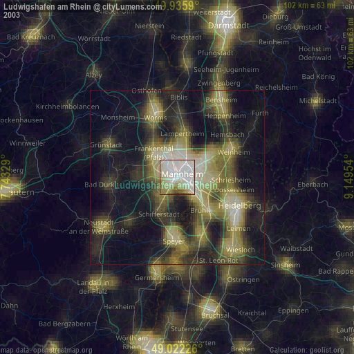
» NASA city lights 2003
» Earth at Night: Flat Maps 2012, 2016