Ludwigsfelde night lights from space
Night Light of Ludwigsfelde (Brandenburg) from space (Germany) Src. Average luminocity for 10x10km area is 21.6263% and for 50x50km: 24.2442%.
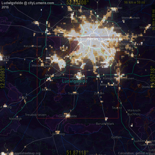
Analysis of Ludwigsfelde night lights 2016
Square area 10x10 km:
 5.05%
5.05%90-99
3.03%80-89
0.88%70-79
2.53%60-69
1.77%50-59
1.64%40-49
1.26%30-39
1.39%20-29
9.72%10-19
26.52%0-9
46.21%Square area 50x50 km:
7.22%90-99
6.15%80-89
2.63%70-79
2%60-69
1.98%50-59
1.87%40-49
2.09%30-39
2.33%20-29
5.55%10-19
8.6%0-9
59.57%Clear (daylight) street map image can be seen on geolist.org.
Map coordinates:
52° 43' 51.9" North, 12° 33' 3.3" East
52° 18' 11.6" North, 13° 15' 14.6" East
51° 52' 16.2" North, 13° 57' 25.8" East
Some cities around Ludwigsfelde sort by population:
• Zehlendorf
14.5 km =9 mi,  358°
358°
• Teltow
11.1 km =6.9 mi,  2°
2°
• Kleinmachnow
11.8 km =7.3 mi,  350°
350°
• Stahnsdorf
9.3 km =5.8 mi,  344°
344°
• Wannsee
14.5 km =9 mi,  332°
332°
• Trebbin
9.8 km =6.1 mi,  191°
191°
• Rangsdorf
11.3 km =7 mi,  96°
96°
• Großbeeren
7.2 km =4.5 mi,  31°
31°
2875379 (p: 24,164)
Sources (retrieved 2019-11-25):
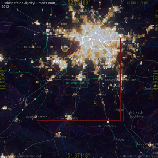
» Earth at Night: Flat Maps 2012, 2016