Lichtenberg night lights from space
Night Light of Lichtenberg (Berlin) from space (Germany) Src. Average luminocity for 10x10km area is 95.8823% and for 50x50km: 35.8461%.
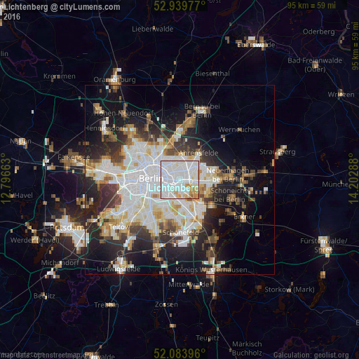
Analysis of Lichtenberg night lights 2016
Square area 10x10 km:
 55.82%
90-99
29.37%80-89
6.22%70-79
6.08%60-69
1.98%50-59
0.53%40-49
0%30-39
0%20-29
0%10-19
0%0-9
0%Square area 50x50 km:
10.46%90-99
8.96%80-89
3.5%70-79
2.88%60-69
3.09%50-59
3.09%40-49
3.94%30-39
4.37%20-29
7.63%10-19
13.8%0-9
38.27%Clear (daylight) street map image can be seen on geolist.org.
Map coordinates:
52° 56' 23.2" North, 12° 47' 47.9" East
52° 30' 50.2" North, 13° 29' 59.1" East
52° 5' 2.3" North, 14° 12' 10.4" East
Some cities around Lichtenberg sort by population:
• Friedrichshain
3 km =1.9 mi,  273°
273°
• Friedrichsfelde
1.1 km =0.7 mi,  148°
148°
• Alt-Hohenschönhausen
3.6 km =2.2 mi,  1°
1°
• Fennpfuhl
2.5 km =1.6 mi,  312°
312°
• Biesdorf
3.7 km =2.3 mi,  98°
98°
• Karlshorst
4 km =2.5 mi, 146°
• Rummelsburg
1.5 km =0.9 mi,  197°
197°
• Alt-Treptow
4 km =2.5 mi,  224°
224°
2878102 (p: 32,888)
Sources (retrieved 2019-11-25):
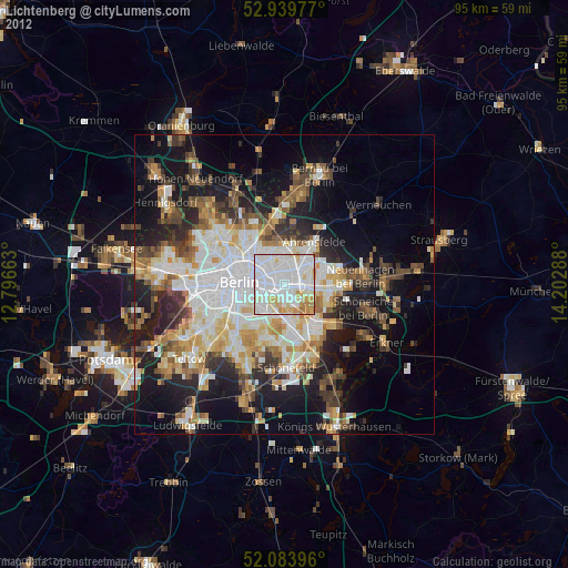
» Earth at Night: Flat Maps 2012, 2016