Friedrichsfelde night lights from space
Night Light of Friedrichsfelde (Berlin) from space (Germany) Src. Average luminocity for 10x10km area is 93.7989% and for 50x50km: 35.6532%.
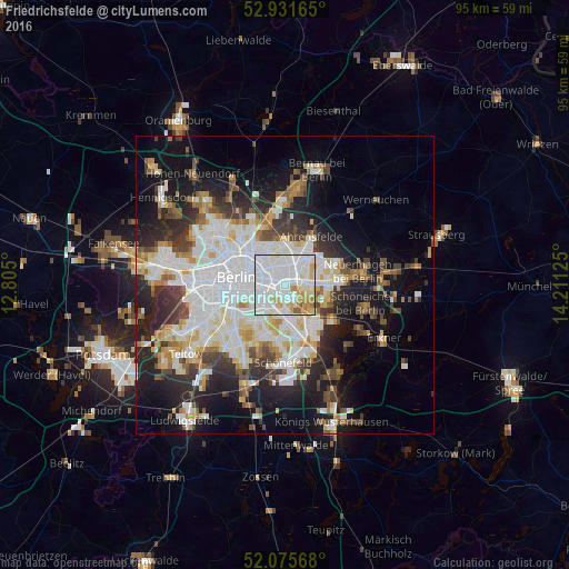
Analysis of Friedrichsfelde night lights 2016
Square area 10x10 km:
 50.13%
90-99
28.7%80-89
7.14%70-79
8.33%60-69
3.31%50-59
2.12%40-49
0.26%30-39
0%20-29
0%10-19
0%0-9
0%Square area 50x50 km:
10.44%90-99
8.91%80-89
3.43%70-79
2.86%60-69
3.07%50-59
3.07%40-49
3.99%30-39
4.3%20-29
7.53%10-19
13.77%0-9
38.63%Clear (daylight) street map image can be seen on geolist.org.
Map coordinates:
52° 55' 53.9" North, 12° 48' 18" East
52° 30' 20.7" North, 13° 30' 29.2" East
52° 4' 32.4" North, 14° 12' 40.5" East
Some cities around Friedrichsfelde sort by population:
• Berlin Treptow
4.5 km =2.8 mi,  252°
252°
• Lichtenberg
1.1 km =0.7 mi,  328°
328°
• Fennpfuhl
3.5 km =2.2 mi,  317°
317°
• Biesdorf
3.1 km =1.9 mi,  83°
83°
• Karlshorst
2.9 km =1.8 mi,  146°
146°
• Rummelsburg
1.1 km =0.7 mi,  244°
244°
• Alt-Treptow
3.9 km =2.4 mi, 240°
• Plänterwald
3.6 km =2.2 mi,  221°
221°
2924599 (p: 49,109)
Sources (retrieved 2019-11-25):
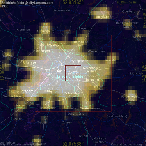
» NASA, Earths city lights 1995
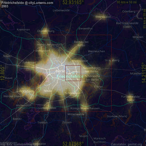
» NASA city lights 2003
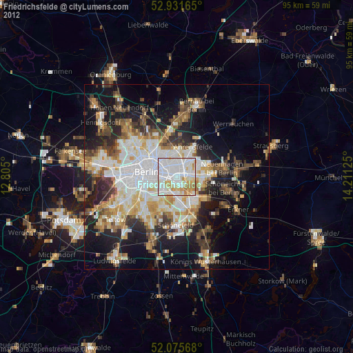
» Earth at Night: Flat Maps 2012, 2016