Fennpfuhl night lights from space
Night Light of Fennpfuhl (Berlin) from space (Germany) Src. Average luminocity for 10x10km area is 98.1177% and for 50x50km: 36.4012%.
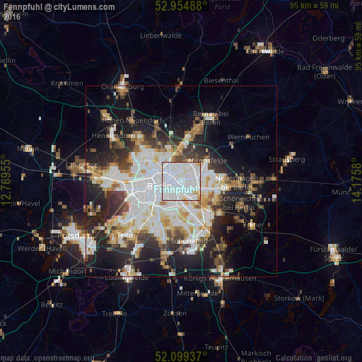
Analysis of Fennpfuhl night lights 2016
Square area 10x10 km:
 64.15%
90-99
30.42%80-89
2.38%70-79
2.65%60-69
0.4%50-59
0%40-49
0%30-39
0%20-29
0%10-19
0%0-9
0%Square area 50x50 km:
10.55%90-99
9.08%80-89
3.54%70-79
3%60-69
3.14%50-59
3.24%40-49
3.91%30-39
4.43%20-29
7.95%10-19
14.42%0-9
36.74%Clear (daylight) street map image can be seen on geolist.org.
Map coordinates:
52° 57' 17.6" North, 12° 46' 10.4" East
52° 31' 45.2" North, 13° 28' 21.6" East
52° 5' 57.7" North, 14° 10' 32.9" East
Some cities around Fennpfuhl sort by population:
• Berlin
4.2 km =2.6 mi,  262°
262°
• Prenzlauer Berg
3.4 km =2.1 mi,  288°
288°
• Friedrichshain
1.9 km =1.2 mi,  218°
218°
• Friedrichsfelde
3.5 km =2.2 mi,  137°
137°
• Weißensee
3 km =1.9 mi,  352°
352°
• Alt-Hohenschönhausen
2.7 km =1.7 mi,  45°
45°
• Lichtenberg
2.5 km =1.6 mi,  132°
132°
• Rummelsburg
3.4 km =2.1 mi,  155°
155°
8334625 (p: 31,529)
Sources (retrieved 2019-11-25):
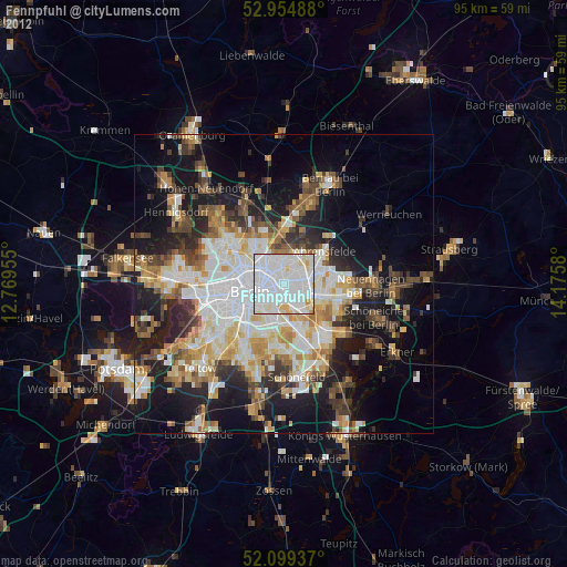
» Earth at Night: Flat Maps 2012, 2016