Lemgo night lights from space
Night Light of Lemgo (North Rhine-Westphalia) from space (Germany) Src. Average luminocity for 10x10km area is 4.4659% and for 50x50km: 5.5531%.
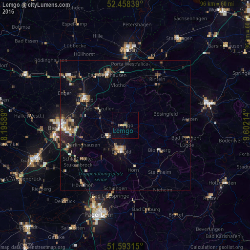
Analysis of Lemgo night lights 2016
Square area 10x10 km:
 0%
0%90-99
0%80-89
0.38%70-79
1.14%60-69
0.51%50-59
0.51%40-49
1.52%30-39
0.76%20-29
0.76%10-19
0.25%0-9
94.19%Square area 50x50 km:
0.49%90-99
0.69%80-89
0.59%70-79
0.47%60-69
0.77%50-59
0.92%40-49
1.19%30-39
0.8%20-29
1.19%10-19
3.04%0-9
89.84%Clear (daylight) street map image can be seen on geolist.org.
Map coordinates:
52° 27' 30.2" North, 8° 11' 45.2" East
52° 1' 40.3" North, 8° 53' 56.4" East
51° 35' 35.3" North, 9° 36' 7.7" East
Some cities around Lemgo sort by population:
• Detmold
10.1 km =6.3 mi,  190°
190°
• Bad Salzuflen
12.4 km =7.7 mi,  301°
301°
• Lage
8.3 km =5.2 mi,  241°
241°
• Vlotho
15.5 km =9.6 mi,  350°
350°
• Blomberg
16.1 km =10 mi,  125°
125°
• Leopoldshöhe
13.8 km =8.6 mi,  262°
262°
• Barntrup
15.5 km =9.6 mi,  105°
105°
• Dörentrup
7.2 km =4.5 mi,  78°
78°
2878943 (p: 41,943)
Sources (retrieved 2019-11-25):
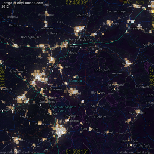
» Earth at Night: Flat Maps 2012, 2016