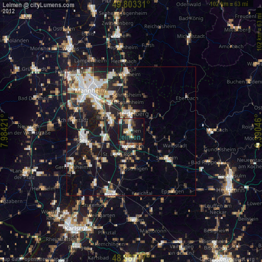
Leimen night lights from space
Night Light of Leimen (Baden-Württemberg) from space (Germany) Src. Average luminocity for 10x10km area is 33.7353% and for 50x50km: 22.2696%.
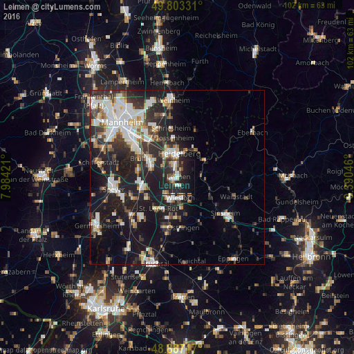
Analysis of Leimen night lights 2016
Square area 10x10 km:
 3.74%
3.74%90-99
5.48%80-89
3.34%70-79
2.54%60-69
5.48%50-59
4.41%40-49
2.94%30-39
4.81%20-29
26.07%10-19
26.87%0-9
14.3%Square area 50x50 km:
4.53%90-99
4.81%80-89
1.87%70-79
1.65%60-69
2.19%50-59
2.36%40-49
2.45%30-39
3.49%20-29
8.11%10-19
16.92%0-9
51.61%Clear (daylight) street map image can be seen on geolist.org.
Map coordinates:
49° 48' 11.9" North, 7° 59' 3.2" East
49° 20' 50.5" North, 8° 41' 14.4" East
48° 53' 13.8" North, 9° 23' 25.7" East
Some cities around Leimen sort by population:
• Heidelberg
6.7 km =4.2 mi,  2°
2°
• Wiesloch
5.9 km =3.7 mi,  172°
172°
• Walldorf
5.6 km =3.5 mi,  215°
215°
• Sandhausen
2.1 km =1.3 mi,  255°
255°
• Eppelheim
7.1 km =4.4 mi,  328°
328°
• Nußloch
2.7 km =1.7 mi, 167°
• Oftersheim
7.8 km =4.8 mi,  284°
284°
• Bammental
6.7 km =4.2 mi,  81°
81°
2879241 (p: 27,190)
Sources (retrieved 2019-11-25):
» Earth at Night: Flat Maps 2012, 2016