Lahr night lights from space
Night Light of Lahr (Baden-Württemberg) from space (Germany) Src. Average luminocity for 10x10km area is 28.9588% and for 50x50km: 12.6865%.
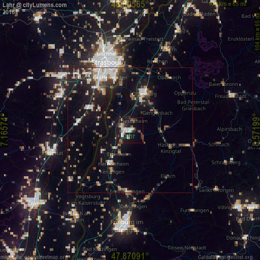
Analysis of Lahr night lights 2016
Square area 10x10 km:
 5.68%
5.68%90-99
5.26%80-89
2.56%70-79
0.85%60-69
3.98%50-59
2.7%40-49
5.26%30-39
5.26%20-29
4.12%10-19
34.94%0-9
29.4%Square area 50x50 km:
2.08%90-99
2.04%80-89
0.81%70-79
1.06%60-69
1.45%50-59
1.61%40-49
1.78%30-39
2.27%20-29
3.22%10-19
10.14%0-9
73.53%Clear (daylight) street map image can be seen on geolist.org.
Map coordinates:
48° 48' 20.3" North, 7° 9' 56.7" East
48° 20' 25.5" North, 7° 52' 7.9" East
47° 52' 15.3" North, 8° 34' 19.2" East
Some cities around Lahr sort by population:
• Ettenheim
10.2 km =6.3 mi,  204°
204°
• Gengenbach
12.9 km =8 mi,  56°
56°
• Herbolzheim
15.1 km =9.4 mi,  206°
206°
• Hohberg
3 km =1.9 mi,  130°
130°
• Schutterwald
12.2 km =7.6 mi,  5°
5°
• Schwanau
8.4 km =5.2 mi,  290°
290°
• Seelbach
6.3 km =3.9 mi,  122°
122°
• Kippenheim
5.9 km =3.7 mi, 213°
2881885 (p: 43,863)
Sources (retrieved 2019-11-25):
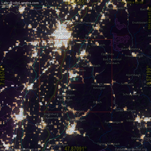
» Earth at Night: Flat Maps 2012, 2016