Kleinwallstadt night lights from space
Night Light of Kleinwallstadt (Bavaria) from space (Germany) Src. Average luminocity for 10x10km area is 10.6658% and for 50x50km: 6.7836%.
Analysis of Kleinwallstadt night lights 2016
Square area 10x10 km:
 0%
0%90-99
0.53%80-89
0.8%70-79
1.74%60-69
3.34%50-59
1.74%40-49
2.81%30-39
0.53%20-29
1.07%10-19
3.88%0-9
83.56%Square area 50x50 km:
0.61%90-99
0.8%80-89
0.56%70-79
0.74%60-69
1.26%50-59
0.98%40-49
1.11%30-39
0.77%20-29
1.83%10-19
6.87%0-9
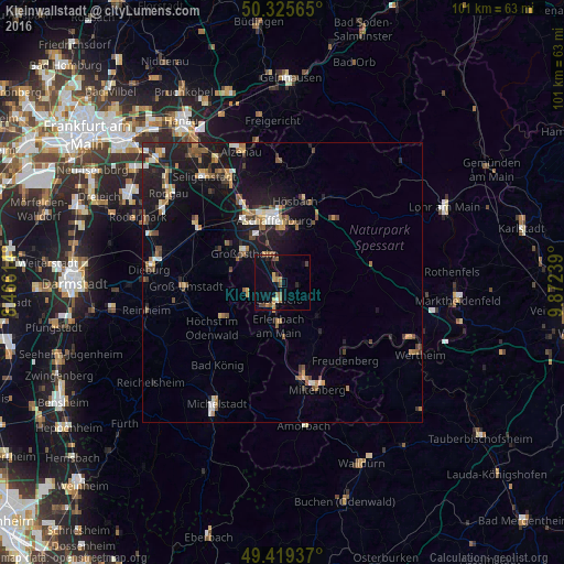
84.48%Clear (daylight) street map image can be seen on geolist.org.
Map coordinates:
50° 19' 32.3" North, 8° 27' 58.1" East
49° 52' 28.7" North, 9° 10' 9.4" East
49° 25' 9.7" North, 9° 52' 20.6" East
Some cities around Kleinwallstadt sort by population:
• Großostheim
8.4 km =5.2 mi,  306°
306°
• Erlenbach am Main
7.9 km =4.9 mi,  183°
183°
• Obernburg am Main
5.1 km =3.2 mi,  212°
212°
• Elsenfeld
3.6 km =2.2 mi,  186°
186°
• Haibach
10.3 km =6.4 mi,  15°
15°
• Sulzbach am Main
4.3 km =2.7 mi,  344°
344°
• Klingenberg am Main
10 km =6.2 mi, 175°
• Mömlingen
6.4 km =4 mi,  254°
254°
2888053 (p: 5,816)
Sources (retrieved 2019-11-25):
» Earth at Night: Flat Maps 2012, 2016