Jessen night lights from space
Night Light of Jessen (Saxony-Anhalt) from space (Germany) Src. Average luminocity for 10x10km area is 2.4594% and for 50x50km: 1.0691%.
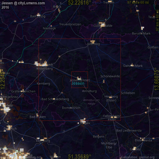
Analysis of Jessen night lights 2016
Square area 10x10 km:
 0%
0%90-99
0.28%80-89
0.28%70-79
0.56%60-69
0.42%50-59
0.7%40-49
0.42%30-39
1.26%20-29
0%10-19
0%0-9
96.08%Square area 50x50 km:
0.08%90-99
0.12%80-89
0.05%70-79
0.17%60-69
0.37%50-59
0.2%40-49
0.13%30-39
0.13%20-29
0.06%10-19
0.36%0-9
98.33%Clear (daylight) street map image can be seen on geolist.org.
Map coordinates:
52° 13' 34.2" North, 12° 15' 16.2" East
51° 47' 36.1" North, 12° 57' 27.4" East
51° 21' 23" North, 13° 39' 38.7" East
Some cities around Jessen sort by population:
• Wittenberg
22.6 km =14 mi,  290°
290°
• Torgau
26.1 km =16.2 mi,  174°
174°
• Jüterbog
24 km =14.9 mi,  20°
20°
• Herzberg
21.6 km =13.4 mi,  123°
123°
• Falkenberg
30.4 km =18.9 mi,  139°
139°
• Friedrichstadt
22.4 km =13.9 mi,  297°
297°
• Niedergörsdorf
20.8 km =12.9 mi,  5°
5°
• Mockrehna
33.3 km =20.7 mi,  197°
197°
2894962 (p: 11,065)
Sources (retrieved 2019-11-25):
» Earth at Night: Flat Maps 2012, 2016