Wittenberg night lights from space
Night Light of Wittenberg (Saxony-Anhalt) from space (Germany) Src. Average luminocity for 10x10km area is 14.6654% and for 50x50km: 1.3836%.
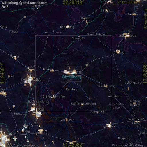
Analysis of Wittenberg night lights 2016
Square area 10x10 km:
 2.4%
2.4%90-99
2.15%80-89
1.26%70-79
2.02%60-69
3.28%50-59
1.39%40-49
1.39%30-39
0.51%20-29
0%10-19
8.96%0-9
76.64%Square area 50x50 km:
0.15%90-99
0.18%80-89
0.17%70-79
0.16%60-69
0.19%50-59
0.15%40-49
0.19%30-39
0.22%20-29
0.08%10-19
0.89%0-9
97.61%Clear (daylight) street map image can be seen on geolist.org.
Map coordinates:
52° 17' 53.5" North, 11° 56' 47.8" East
51° 51' 58" North, 12° 38' 59" East
51° 25' 47.4" North, 13° 21' 10.3" East
Some cities around Wittenberg sort by population:
• Dessau
27.9 km =17.3 mi,  263°
263°
• Roßlau
28.1 km =17.5 mi,  274°
274°
• Jessen
22.6 km =14 mi,  110°
110°
• Treuenbrietzen
29.9 km =18.6 mi,  30°
30°
• Coswig
13.9 km =8.6 mi,  279°
279°
• Gräfenhainichen
20.2 km =12.6 mi,  221°
221°
• Friedrichstadt
2.7 km =1.7 mi, 29°
• Niedergörsdorf
26.2 km =16.3 mi,  61°
61°
7303020 (p: 30,000)
Sources (retrieved 2019-11-25):
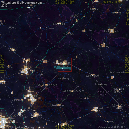
» Earth at Night: Flat Maps 2012, 2016