Torgau night lights from space
Night Light of Torgau (Saxony) from space (Germany) Src. Average luminocity for 10x10km area is 9.0428% and for 50x50km: 0.9679%.
Analysis of Torgau night lights 2016
Square area 10x10 km:
 1.6%
1.6%90-99
2.67%80-89
0%70-79
0.67%60-69
1.07%50-59
2.01%40-49
0%30-39
0.53%20-29
0.53%10-19
0.4%0-9
90.51%Square area 50x50 km:
0.09%90-99
0.16%80-89
0.07%70-79
0.07%60-69
0.25%50-59
0.22%40-49
0.03%30-39
0.14%20-29
0.17%10-19
0.07%0-9
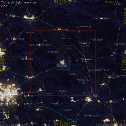
98.73%Clear (daylight) street map image can be seen on geolist.org.
Map coordinates:
51° 59' 42.7" North, 12° 17' 35" East
51° 33' 36.6" North, 12° 59' 46.2" East
51° 7' 15.3" North, 13° 41' 57.5" East
Some cities around Torgau sort by population:
• Eilenburg
27.5 km =17.1 mi,  246°
246°
• Wurzen
27.6 km =17.1 mi,  220°
220°
• Jessen
26.1 km =16.2 mi,  354°
354°
• Herzberg
20.9 km =13 mi,  47°
47°
• Falkenberg
17.3 km =10.7 mi,  80°
80°
• Mockrehna
13.9 km =8.6 mi, 245°
• Dahlen
21.7 km =13.5 mi,  179°
179°
• Belgern
12.3 km =7.6 mi,  134°
134°
2821807 (p: 18,746)
Sources (retrieved 2019-11-25):
» Earth at Night: Flat Maps 2012, 2016