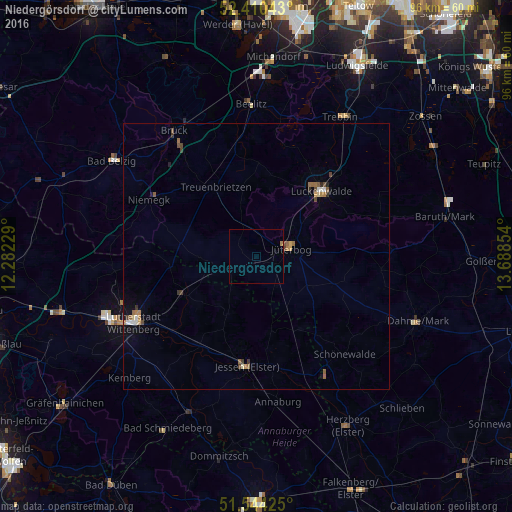
Niedergörsdorf night lights from space
Night Light of Niedergörsdorf (Brandenburg) from space (Germany) Src. Average luminocity for 10x10km area is 0.4558% and for 50x50km: 1.0105%.
Analysis of Niedergörsdorf night lights 2016
Square area 10x10 km:
 0%
0%90-99
0%80-89
0%70-79
0%60-69
0.51%50-59
0%40-49
0%30-39
0%20-29
0%10-19
0%0-9
99.49%Square area 50x50 km:
0.08%90-99
0.1%80-89
0.05%70-79
0.14%60-69
0.28%50-59
0.17%40-49
0.25%30-39
0.17%20-29
0.07%10-19
0.24%0-9
98.44%Clear (daylight) street map image can be seen on geolist.org.
Map coordinates:
52° 24' 37.5" North, 12° 16' 56.2" East
51° 58' 45.9" North, 12° 59' 7.5" East
51° 32' 39.3" North, 13° 41' 18.7" East
Some cities around Niedergörsdorf sort by population:
• Wittenberg
26.2 km =16.3 mi,  241°
241°
• Luckenwalde
17.5 km =10.9 mi,  45°
45°
• Jüterbog
6.7 km =4.2 mi,  74°
74°
• Beelitz
28.8 km =17.9 mi,  358°
358°
• Jessen
20.8 km =12.9 mi,  185°
185°
• Trebbin
31 km =19.3 mi,  31°
31°
• Treuenbrietzen
15.2 km =9.4 mi,  329°
329°
• Friedrichstadt
24 km =14.9 mi, 244°
2863401 (p: 7,197)
Sources (retrieved 2019-11-25):
» Earth at Night: Flat Maps 2012, 2016