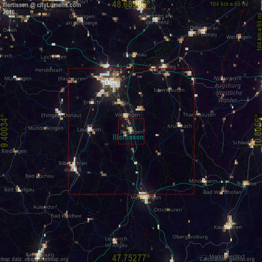
Illertissen night lights from space
Night Light of Illertissen (Bavaria) from space (Germany) Src. Average luminocity for 10x10km area is 10.247% and for 50x50km: 6.3014%.
Analysis of Illertissen night lights 2016
Square area 10x10 km:
 0.6%
0.6%90-99
0%80-89
1.49%70-79
1.49%60-69
0.45%50-59
2.08%40-49
3.57%30-39
2.38%20-29
1.04%10-19
4.61%0-9
82.29%Square area 50x50 km:
0.87%90-99
0.93%80-89
0.48%70-79
0.67%60-69
0.78%50-59
0.63%40-49
1.37%30-39
1.07%20-29
1.44%10-19
3.54%0-9
88.21%Clear (daylight) street map image can be seen on geolist.org.
Map coordinates:
48° 41' 22.8" North, 9° 24' 1.2" East
48° 13' 24.1" North, 10° 6' 12.5" East
47° 45' 10" North, 10° 48' 23.8" East
Some cities around Illertissen sort by population:
• Senden
12.1 km =7.5 mi,  338°
338°
• Laupheim
16.7 km =10.4 mi,  271°
271°
• Weißenhorn
10 km =6.2 mi,  24°
24°
• Vöhringen
6.3 km =3.9 mi,  345°
345°
• Pfaffenhofen an der Roth
15.2 km =9.4 mi, 16°
• Dietenheim
2.7 km =1.7 mi,  239°
239°
• Schwendi
11 km =6.8 mi, 240°
• Babenhausen
14.1 km =8.8 mi,  128°
128°
2896546 (p: 16,522)
Sources (retrieved 2019-11-25):
» Earth at Night: Flat Maps 2012, 2016