Idstein night lights from space
Night Light of Idstein (Hesse) from space (Germany) Src. Average luminocity for 10x10km area is 5.3957% and for 50x50km: 16.8455%.
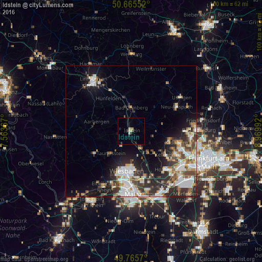
Analysis of Idstein night lights 2016
Square area 10x10 km:
 0%
0%90-99
0.94%80-89
1.2%70-79
1.07%60-69
0%50-59
0%40-49
0.53%30-39
1.34%20-29
1.34%10-19
0.94%0-9
92.65%Square area 50x50 km:
3.6%90-99
3.67%80-89
1.38%70-79
1.6%60-69
1.77%50-59
1.83%40-49
2.73%30-39
2.87%20-29
4.73%10-19
7.06%0-9
68.76%Clear (daylight) street map image can be seen on geolist.org.
Map coordinates:
50° 39' 55.9" North, 7° 33' 49.2" East
50° 13' 3.8" North, 8° 16' 0.4" East
49° 45' 56.5" North, 8° 58' 11.7" East
Some cities around Idstein sort by population:
• Wiesbaden
15.1 km =9.4 mi,  184°
184°
• Taunusstein
11.1 km =6.9 mi,  227°
227°
• Niedernhausen
6.9 km =4.3 mi,  151°
151°
• Bad Camberg
8.8 km =5.5 mi,  1°
1°
• Eppstein
12.2 km =7.6 mi,  133°
133°
• Schmitten
14.1 km =8.8 mi,  67°
67°
• Waldems
5.9 km =3.7 mi,  52°
52°
• Glashütten
9.5 km =5.9 mi,  90°
90°
2896736 (p: 22,810)
Sources (retrieved 2019-11-25):
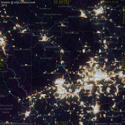
» Earth at Night: Flat Maps 2012, 2016