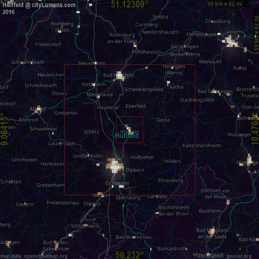
Hünfeld night lights from space
Night Light of Hünfeld (Hesse) from space (Germany) Src. Average luminocity for 10x10km area is 2.7794% and for 50x50km: 2.0181%.
Analysis of Hünfeld night lights 2016
Square area 10x10 km:
 0.4%
0.4%90-99
0.13%80-89
0.53%70-79
0%60-69
0%50-59
0.67%40-49
2.01%30-39
0%20-29
0%10-19
1.07%0-9
95.19%Square area 50x50 km:
0.38%90-99
0.39%80-89
0.17%70-79
0.15%60-69
0.21%50-59
0.2%40-49
0.34%30-39
0.03%20-29
0.29%10-19
1.44%0-9
96.39%Clear (daylight) street map image can be seen on geolist.org.
Map coordinates:
51° 7' 23.1" North, 9° 3' 50.9" East
50° 40' 46.8" North, 9° 46' 2.2" East
50° 13' 55.2" North, 10° 28' 13.4" East
Some cities around Hünfeld sort by population:
• Fulda
15.6 km =9.7 mi,  204°
204°
• Künzell
15.5 km =9.6 mi,  193°
193°
• Schlitz
14.5 km =9 mi,  267°
267°
• Großenlüder
18.6 km =11.6 mi,  238°
238°
• Eiterfeld
9.9 km =6.2 mi,  13°
13°
• Burghaun
3.6 km =2.2 mi,  302°
302°
• Hofbieber
11.4 km =7.1 mi,  155°
155°
• Niederaula
17.8 km =11.1 mi,  318°
318°
2897436 (p: 16,323)
Sources (retrieved 2019-11-25):
» Earth at Night: Flat Maps 2012, 2016