Eiterfeld night lights from space
Night Light of Eiterfeld (Hesse) from space (Germany) Src. Average luminocity for 10x10km area is 0.007% and for 50x50km: 1.6349%.
Analysis of Eiterfeld night lights 2016
Square area 10x10 km:
 0%
0%90-99
0%80-89
0%70-79
0%60-69
0%50-59
0%40-49
0%30-39
0%20-29
0%10-19
0%0-9
100%Square area 50x50 km:
0.3%90-99
0.3%80-89
0.19%70-79
0.15%60-69
0.2%50-59
0.16%40-49
0.31%30-39
0.07%20-29
0.19%10-19
0.67%0-9
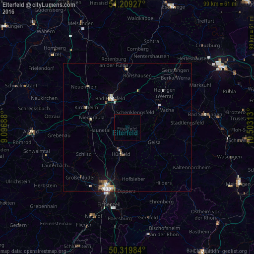
97.47%Clear (daylight) street map image can be seen on geolist.org.
Map coordinates:
51° 12' 33.4" North, 9° 5' 48.8" East
50° 46' 0" North, 9° 48' 0" East
50° 19' 11.4" North, 10° 30' 11.3" East
Some cities around Eiterfeld sort by population:
• Bad Hersfeld
13.3 km =8.3 mi,  331°
331°
• Hünfeld
9.9 km =6.2 mi,  193°
193°
• Bebra
23.1 km =14.4 mi,  359°
359°
• Schlitz
19.7 km =12.2 mi,  238°
238°
• Heringen
19.8 km =12.3 mi,  47°
47°
• Burghaun
9.4 km =5.8 mi,  214°
214°
• Hofbieber
20.2 km =12.6 mi,  172°
172°
• Niederaula
14.5 km =9 mi,  284°
284°
2931372 (p: 7,613)
Sources (retrieved 2019-11-25):
» Earth at Night: Flat Maps 2012, 2016