Fulda night lights from space
Night Light of Fulda (Hesse) from space (Germany) Src. Average luminocity for 10x10km area is 25.2941% and for 50x50km: 1.6187%.
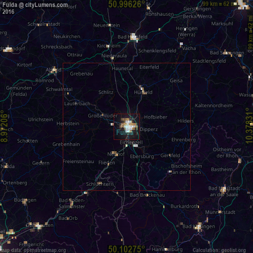
Analysis of Fulda night lights 2016
Square area 10x10 km:
 4.41%
4.41%90-99
4.68%80-89
1.6%70-79
2.67%60-69
3.48%50-59
2.81%40-49
3.88%30-39
0.53%20-29
4.41%10-19
31.55%0-9
39.97%Square area 50x50 km:
0.26%90-99
0.26%80-89
0.09%70-79
0.15%60-69
0.17%50-59
0.26%40-49
0.31%30-39
0.09%20-29
0.29%10-19
1.42%0-9
96.7%Clear (daylight) street map image can be seen on geolist.org.
Map coordinates:
50° 59' 46.5" North, 8° 58' 19.4" East
50° 33' 5.8" North, 9° 40' 30.6" East
50° 6' 9.9" North, 10° 22' 41.9" East
Some cities around Fulda sort by population:
• Hünfeld
15.6 km =9.7 mi,  24°
24°
• Künzell
3.1 km =1.9 mi,  105°
105°
• Neuhof
11.7 km =7.3 mi,  200°
200°
• Eichenzell
6.4 km =4 mi,  166°
166°
• Schlitz
15.8 km =9.8 mi,  329°
329°
• Flieden
16.1 km =10 mi,  208°
208°
• Großenlüder
10.4 km =6.5 mi,  295°
295°
• Hofbieber
11.9 km =7.4 mi,  71°
71°
2923822 (p: 63,760)
Sources (retrieved 2019-11-25):
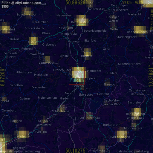
» NASA, Earths city lights 1995
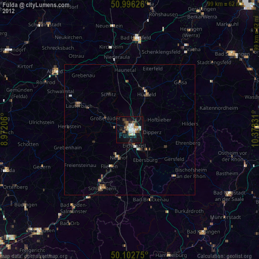
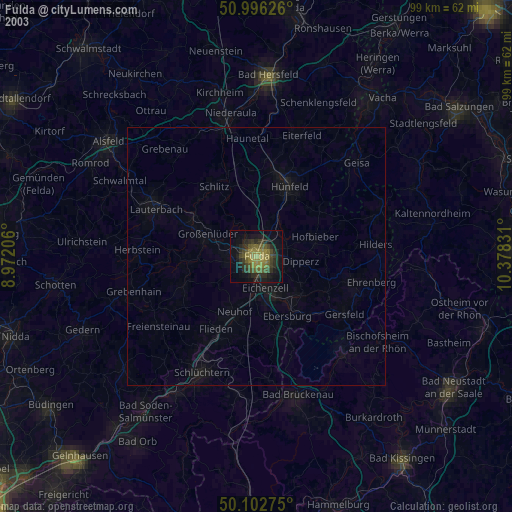
» NASA city lights 2003
» Earth at Night: Flat Maps 2012, 2016