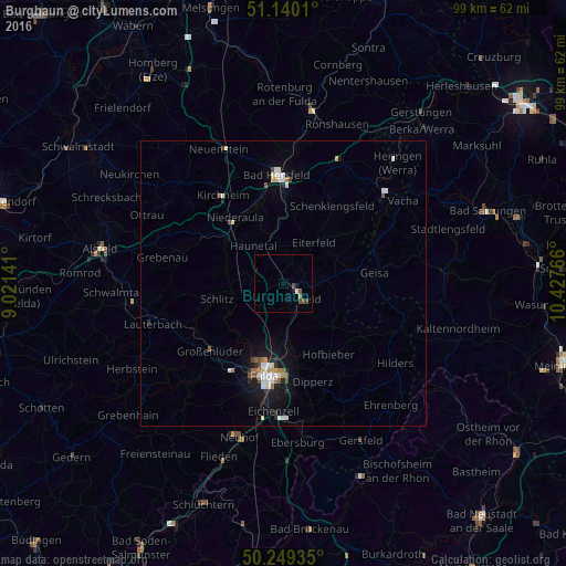
Burghaun night lights from space
Night Light of Burghaun (Hesse) from space (Germany) Src. Average luminocity for 10x10km area is 2.7888% and for 50x50km: 2.0044%.
Analysis of Burghaun night lights 2016
Square area 10x10 km:
 0.4%
0.4%90-99
0.13%80-89
0.53%70-79
0%60-69
0%50-59
0.67%40-49
2.01%30-39
0%20-29
0%10-19
1.6%0-9
94.65%Square area 50x50 km:
0.38%90-99
0.39%80-89
0.19%70-79
0.13%60-69
0.21%50-59
0.19%40-49
0.31%30-39
0.05%20-29
0.29%10-19
1.44%0-9
96.42%Clear (daylight) street map image can be seen on geolist.org.
Map coordinates:
51° 8' 24.4" North, 9° 1' 17.1" East
50° 41' 48.6" North, 9° 43' 28.3" East
50° 14' 57.7" North, 10° 25' 39.6" East
Some cities around Burghaun sort by population:
• Fulda
16.5 km =10.3 mi,  192°
192°
• Hünfeld
3.6 km =2.2 mi,  122°
122°
• Künzell
17 km =10.6 mi,  181°
181°
• Schlitz
11.8 km =7.3 mi,  257°
257°
• Großenlüder
17.3 km =10.7 mi,  227°
227°
• Eiterfeld
9.4 km =5.8 mi,  34°
34°
• Hofbieber
14.6 km =9.1 mi,  147°
147°
• Niederaula
14.4 km =8.9 mi,  322°
322°
2941283 (p: 6,713)
Sources (retrieved 2019-11-25):
» Earth at Night: Flat Maps 2012, 2016