Bünde night lights from space
Night Light of Bünde (North Rhine-Westphalia) from space (Germany) Src. Average luminocity for 10x10km area is 12.1071% and for 50x50km: 6.1144%.
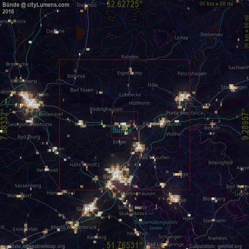
Analysis of Bünde night lights 2016
Square area 10x10 km:
 0.79%
0.79%90-99
1.85%80-89
0.26%70-79
0.79%60-69
2.65%50-59
1.98%40-49
3.7%30-39
1.59%20-29
1.46%10-19
2.25%0-9
82.67%Square area 50x50 km:
0.61%90-99
0.9%80-89
0.56%70-79
0.62%60-69
0.83%50-59
1.01%40-49
1.17%30-39
0.92%20-29
1.47%10-19
3.44%0-9
88.46%Clear (daylight) street map image can be seen on geolist.org.
Map coordinates:
52° 37' 38.1" North, 7° 52' 60" East
52° 11' 54.1" North, 8° 35' 11.2" East
51° 45' 55.1" North, 9° 17' 22.5" East
Some cities around Bünde sort by population:
• Löhne
7.3 km =4.5 mi,  98°
98°
• Hiddenhausen
4.1 km =2.5 mi,  149°
149°
• Enger
6.7 km =4.2 mi,  196°
196°
• Kirchlengern
3.2 km =2 mi,  86°
86°
• Spenge
9.5 km =5.9 mi,  227°
227°
• Hüllhorst
10.9 km =6.8 mi,  30°
30°
• Rödinghausen
9.1 km =5.7 mi,  309°
309°
• Obernbeck
8 km =5 mi, 87°
2941694 (p: 45,403)
Sources (retrieved 2019-11-25):
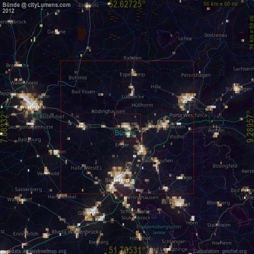
» Earth at Night: Flat Maps 2012, 2016