Hellenthal night lights from space
Night Light of Hellenthal (North Rhine-Westphalia) from space (Germany) Src. Average luminocity for 10x10km area is 0% and for 50x50km: 1.1639%.
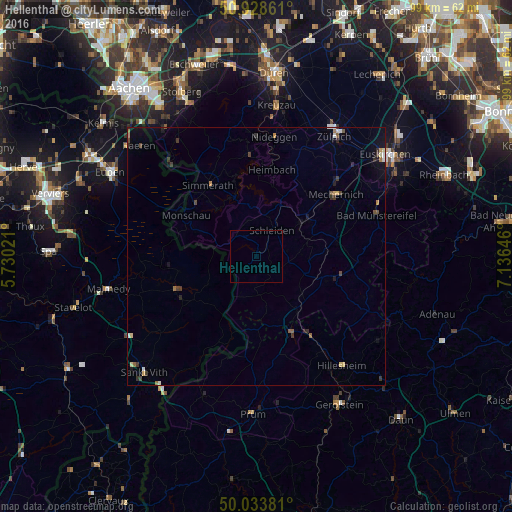
Analysis of Hellenthal night lights 2016
Square area 10x10 km:
 0%
0%90-99
0%80-89
0%70-79
0%60-69
0%50-59
0%40-49
0%30-39
0%20-29
0%10-19
0%0-9
100%Square area 50x50 km:
0.09%90-99
0.12%80-89
0.15%70-79
0.11%60-69
0.17%50-59
0.15%40-49
0.19%30-39
0.3%20-29
0.23%10-19
0.47%0-9
98.02%Clear (daylight) street map image can be seen on geolist.org.
Map coordinates:
50° 55' 43" North, 5° 43' 48.8" East
50° 28' 60" North, 6° 25' 60" East
50° 2' 1.7" North, 7° 8' 11.3" East
Some cities around Hellenthal sort by population:
• Simmerath
16 km =9.9 mi,  324°
324°
• Schleiden
5.9 km =3.7 mi,  31°
31°
• Monschau
15.8 km =9.8 mi,  300°
300°
• Kall
11.3 km =7 mi,  54°
54°
• Blankenheim
16.3 km =10.1 mi,  109°
109°
• Nettersheim
13.9 km =8.6 mi,  85°
85°
• Butgenbach, BE
17.3 km =10.7 mi,  248°
248°
• Bullange, BE
15 km =9.3 mi,  235°
235°
2906843 (p: 8,582)
Sources (retrieved 2019-11-25):
» Earth at Night: Flat Maps 2012, 2016