Heinsberg night lights from space
Night Light of Heinsberg (North Rhine-Westphalia) from space (Germany) Src. Average luminocity for 10x10km area is 12.5976% and for 50x50km: 21.1019%.
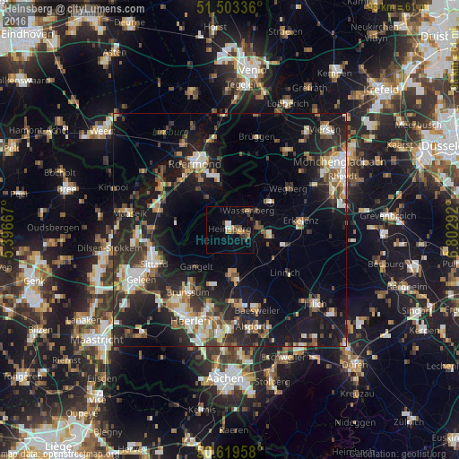
Analysis of Heinsberg night lights 2016
Square area 10x10 km:
 0.94%
0.94%90-99
1.2%80-89
0.4%70-79
2.54%60-69
1.34%50-59
2.27%40-49
3.21%30-39
2.41%20-29
1.2%10-19
2.81%0-9
81.68%Square area 50x50 km:
2.37%90-99
3.76%80-89
1.81%70-79
2.28%60-69
2.55%50-59
2.86%40-49
3.48%30-39
3.6%20-29
7.93%10-19
17.24%0-9
52.12%Clear (daylight) street map image can be seen on geolist.org.
Map coordinates:
51° 30' 12.1" North, 5° 23' 48" East
51° 3' 48.9" North, 6° 5' 59.3" East
50° 37' 10.5" North, 6° 48' 10.5" East
Some cities around Heinsberg sort by population:
• Erkelenz
15.2 km =9.4 mi,  83°
83°
• Hückelhoven
8.9 km =5.5 mi,  95°
95°
• Wegberg
15.6 km =9.7 mi,  55°
55°
• Geilenkirchen
10.8 km =6.7 mi,  173°
173°
• Wassenberg
5.6 km =3.5 mi,  43°
43°
• Linnich
15.1 km =9.4 mi,  127°
127°
• Gangelt
10.6 km =6.6 mi,  221°
221°
• Waldfeucht
7.8 km =4.8 mi,  272°
272°
2907201 (p: 41,505)
Sources (retrieved 2019-11-25):
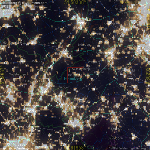
» Earth at Night: Flat Maps 2012, 2016