Hückelhoven night lights from space
Night Light of Hückelhoven (North Rhine-Westphalia) from space (Germany) Src. Average luminocity for 10x10km area is 11.5896% and for 50x50km: 20.3609%.
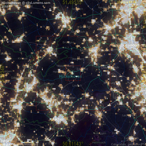
Analysis of Hückelhoven night lights 2016
Square area 10x10 km:
 0.8%
0.8%90-99
1.87%80-89
0.53%70-79
0%60-69
1.2%50-59
2.67%40-49
3.34%30-39
1.34%20-29
1.47%10-19
2.67%0-9
84.09%Square area 50x50 km:
1.94%90-99
3.4%80-89
1.91%70-79
2.23%60-69
2.43%50-59
3%40-49
3.35%30-39
3.25%20-29
7.22%10-19
18.64%0-9
52.62%Clear (daylight) street map image can be seen on geolist.org.
Map coordinates:
51° 29' 43.3" North, 5° 31' 24.5" East
51° 3' 19.8" North, 6° 13' 35.7" East
50° 36' 41.1" North, 6° 55' 47" East
Some cities around Hückelhoven sort by population:
• Erkelenz
6.7 km =4.2 mi,  66°
66°
• Heinsberg
8.9 km =5.5 mi,  275°
275°
• Wegberg
10.5 km =6.5 mi,  22°
22°
• Geilenkirchen
12.4 km =7.7 mi,  217°
217°
• Wassenberg
7 km =4.3 mi,  314°
314°
• Niederkrüchten
16.1 km =10 mi,  357°
357°
• Linnich
8.9 km =5.5 mi,  159°
159°
• Titz
14.9 km =9.3 mi,  111°
111°
2898111 (p: 39,828)
Sources (retrieved 2019-11-25):
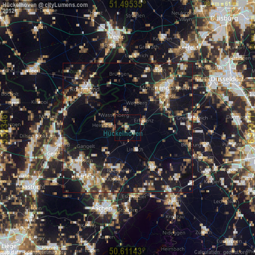
» Earth at Night: Flat Maps 2012, 2016