Erkelenz night lights from space
Night Light of Erkelenz (North Rhine-Westphalia) from space (Germany) Src. Average luminocity for 10x10km area is 8.5628% and for 50x50km: 20.2475%.
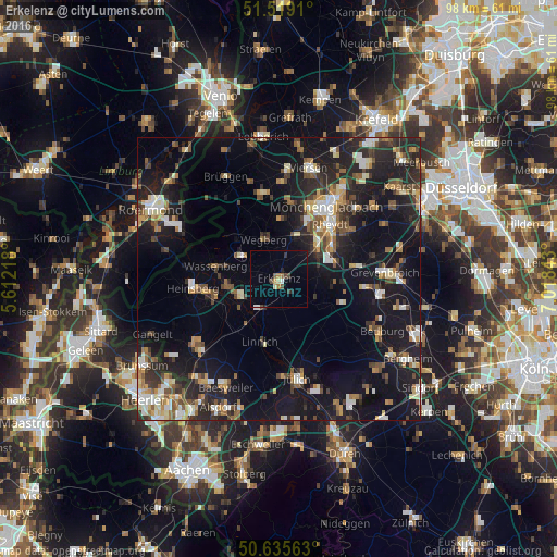
Analysis of Erkelenz night lights 2016
Square area 10x10 km:
 0.53%
0.53%90-99
0.53%80-89
1.07%70-79
0.67%60-69
1.47%50-59
0.67%40-49
2.27%30-39
1.07%20-29
0.94%10-19
2.41%0-9
88.37%Square area 50x50 km:
1.96%90-99
3.39%80-89
1.78%70-79
2.09%60-69
2.45%50-59
2.8%40-49
3.54%30-39
2.91%20-29
7.15%10-19
19.95%0-9
51.99%Clear (daylight) street map image can be seen on geolist.org.
Map coordinates:
51° 31' 8.8" North, 5° 36' 43.8" East
51° 4' 46.1" North, 6° 18' 55.1" East
50° 38' 8.3" North, 7° 1' 6.3" East
Some cities around Erkelenz sort by population:
• Mönchengladbach
14.7 km =9.1 mi,  36°
36°
• Hückelhoven
6.7 km =4.2 mi,  246°
246°
• Wegberg
7.3 km =4.5 mi,  342°
342°
• Jüchen
13.1 km =8.1 mi,  79°
79°
• Wassenberg
11.4 km =7.1 mi,  281°
281°
• Niederkrüchten
15.1 km =9.4 mi,  332°
332°
• Linnich
11.5 km =7.1 mi,  195°
195°
• Titz
11.2 km =7 mi,  136°
136°
2929622 (p: 44,650)
Sources (retrieved 2019-11-25):
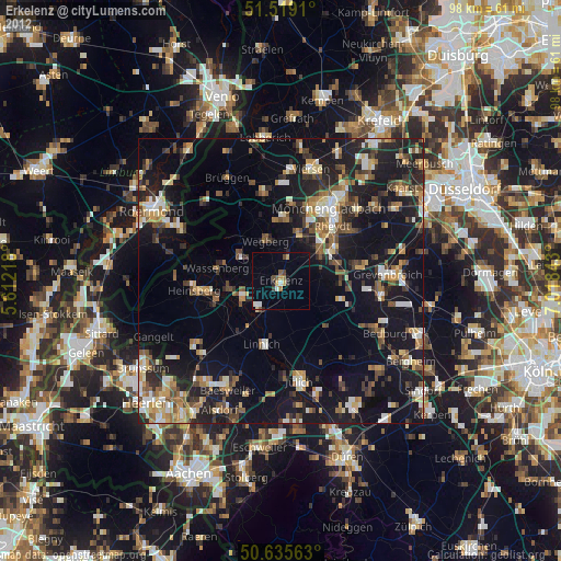
» Earth at Night: Flat Maps 2012, 2016