Haselünne night lights from space
Night Light of Haselünne (Lower Saxony) from space (Germany) Src. Average luminocity for 10x10km area is 0.5847% and for 50x50km: 1.1783%.
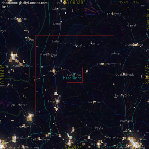
Analysis of Haselünne night lights 2016
Square area 10x10 km:
 0%
0%90-99
0%80-89
0%70-79
0%60-69
0%50-59
0%40-49
0.53%30-39
0%20-29
0.66%10-19
0.93%0-9
97.88%Square area 50x50 km:
0.11%90-99
0.23%80-89
0.12%70-79
0.08%60-69
0.08%50-59
0.24%40-49
0.23%30-39
0.23%20-29
0.22%10-19
0.21%0-9
98.24%Clear (daylight) street map image can be seen on geolist.org.
Map coordinates:
53° 5' 54.2" North, 6° 46' 53.3" East
52° 40' 26.8" North, 7° 29' 4.6" East
52° 14' 44.5" North, 8° 11' 15.8" East
Some cities around Haselünne sort by population:
• Lingen
20.4 km =12.7 mi,  213°
213°
• Meppen
13.2 km =8.2 mi,  278°
278°
• Haren
21 km =13 mi,  308°
308°
• Löningen
19.7 km =12.2 mi,  69°
69°
• Geeste
16.9 km =10.5 mi,  240°
240°
• Fürstenau
21.8 km =13.5 mi,  143°
143°
• Sögel
19.7 km =12.2 mi,  6°
6°
• Freren
21.2 km =13.2 mi,  169°
169°
2909761 (p: 12,562)
Sources (retrieved 2019-11-25):
» Earth at Night: Flat Maps 2012, 2016