Lingen night lights from space
Night Light of Lingen (Lower Saxony) from space (Germany) Src. Average luminocity for 10x10km area is 11.8175% and for 50x50km: 3.0608%.

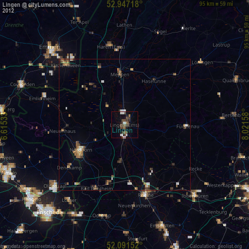
Analysis of Lingen night lights 2016
Square area 10x10 km:
 1.46%
1.46%90-99
2.65%80-89
1.59%70-79
0.66%60-69
0%50-59
0.66%40-49
3.44%30-39
2.51%20-29
0%10-19
3.04%0-9
83.99%Square area 50x50 km:
0.25%90-99
0.46%80-89
0.35%70-79
0.28%60-69
0.3%50-59
0.57%40-49
0.6%30-39
0.58%20-29
0.36%10-19
1.4%0-9
94.85%Clear (daylight) street map image can be seen on geolist.org.
Map coordinates:
52° 56' 49.8" North, 6° 36' 55.2" East
52° 31' 17.1" North, 7° 19' 6.4" East
52° 5' 29.5" North, 8° 1' 17.7" East
Some cities around Lingen sort by population:
• Nordhorn
19.7 km =12.2 mi,  239°
239°
• Meppen
18.9 km =11.7 mi,  354°
354°
• Geeste
9.4 km =5.8 mi,  338°
338°
• Wietmarschen
12.5 km =7.8 mi,  268°
268°
• Emsbüren
13.6 km =8.5 mi,  185°
185°
• Spelle
19.9 km =12.4 mi,  149°
149°
• Lohne
6.8 km =4.2 mi,  247°
247°
• Freren
15.7 km =9.8 mi,  104°
104°
2877088 (p: 51,310)
Sources (retrieved 2019-11-25):
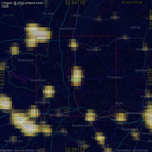
» NASA, Earths city lights 1995
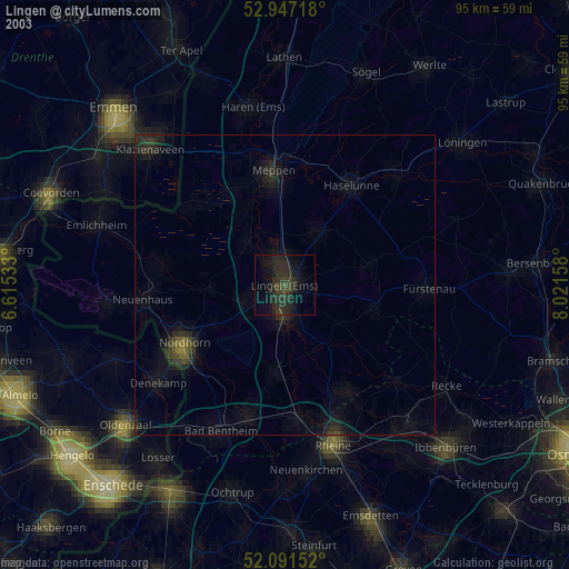
» NASA city lights 2003
» Earth at Night: Flat Maps 2012, 2016