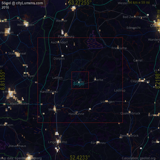
Sögel night lights from space
Night Light of Sögel (Lower Saxony) from space (Germany) Src. Average luminocity for 10x10km area is 0.5114% and for 50x50km: 0.6071%.
Analysis of Sögel night lights 2016
Square area 10x10 km:
 0%
0%90-99
0.51%80-89
0%70-79
0%60-69
0%50-59
0%40-49
0%30-39
0%20-29
0%10-19
0%0-9
99.49%Square area 50x50 km:
0.04%90-99
0.1%80-89
0.06%70-79
0.06%60-69
0.07%50-59
0.2%40-49
0.07%30-39
0.12%20-29
0.16%10-19
0.09%0-9
99.02%Clear (daylight) street map image can be seen on geolist.org.
Map coordinates:
53° 16' 21.2" North, 6° 48' 48.8" East
52° 51' 0" North, 7° 31' 0" East
52° 25' 23.9" North, 8° 13' 11.3" East
Some cities around Sögel sort by population:
• Meppen
23.3 km =14.5 mi,  220°
220°
• Haren
19.6 km =12.2 mi,  250°
250°
• Löningen
20.5 km =12.7 mi,  127°
127°
• Haselünne
19.7 km =12.2 mi,  186°
186°
• Werlte
11.2 km =7 mi,  90°
90°
• Lastrup
24.3 km =15.1 mi,  104°
104°
• Lathen
13.6 km =8.5 mi,  277°
277°
• Esterwegen
17.7 km =11 mi,  26°
26°
2831699 (p: 6,825)
Sources (retrieved 2019-11-25):
» Earth at Night: Flat Maps 2012, 2016