Geeste night lights from space
Night Light of Geeste (Lower Saxony) from space (Germany) Src. Average luminocity for 10x10km area is 4.287% and for 50x50km: 2.7423%.
Analysis of Geeste night lights 2016
Square area 10x10 km:
 0.93%
0.93%90-99
1.19%80-89
0.93%70-79
0.13%60-69
0%50-59
0.79%40-49
0.26%30-39
0%20-29
0%10-19
0%0-9
95.77%Square area 50x50 km:
0.22%90-99
0.35%80-89
0.29%70-79
0.25%60-69
0.38%50-59
0.71%40-49
0.38%30-39
0.49%20-29
0.3%10-19
1.42%0-9
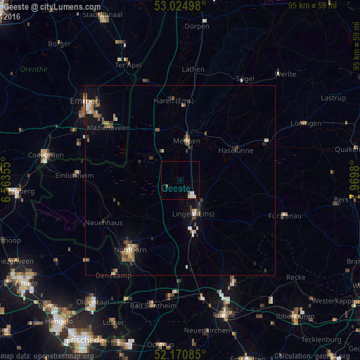
95.21%Clear (daylight) street map image can be seen on geolist.org.
Map coordinates:
53° 1' 29.9" North, 6° 33' 48.8" East
52° 36' 0" North, 7° 16' 0" East
52° 10' 15.1" North, 7° 58' 11.3" East
Some cities around Geeste sort by population:
• Lingen
9.4 km =5.8 mi,  158°
158°
• Meppen
10.2 km =6.3 mi,  9°
9°
• Haren
21.5 km =13.4 mi,  355°
355°
• Haselünne
16.9 km =10.5 mi,  60°
60°
• Wietmarschen
12.8 km =8 mi,  224°
224°
• Emsbüren
22.4 km =13.9 mi,  174°
174°
• Lohne
11.7 km =7.3 mi,  193°
193°
• Freren
22.5 km =14 mi,  123°
123°
2922112 (p: 11,281)
Sources (retrieved 2019-11-25):
» Earth at Night: Flat Maps 2012, 2016