Ennepetal night lights from space
Night Light of Ennepetal (North Rhine-Westphalia) from space (Germany) Src. Average luminocity for 10x10km area is 22.3543% and for 50x50km: 29.3298%.
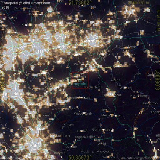
Analysis of Ennepetal night lights 2016
Square area 10x10 km:
 1.12%
1.12%90-99
1.54%80-89
2.8%70-79
4.2%60-69
3.5%50-59
4.2%40-49
3.5%30-39
0.98%20-29
1.54%10-19
43.14%0-9
33.47%Square area 50x50 km:
4.23%90-99
4.82%80-89
3.37%70-79
4.17%60-69
4.51%50-59
4.43%40-49
4.17%30-39
4.18%20-29
9.6%10-19
17.06%0-9
39.45%Clear (daylight) street map image can be seen on geolist.org.
Map coordinates:
51° 44' 9.7" North, 6° 39' 35.2" East
51° 17' 54.5" North, 7° 21' 46.4" East
50° 51' 24.2" North, 8° 3' 57.7" East
Some cities around Ennepetal sort by population:
• Hagen
10.3 km =6.4 mi,  47°
47°
• Gevelsberg
2.9 km =1.8 mi,  325°
325°
• Schwelm
5 km =3.1 mi,  254°
254°
• Wetter (Ruhr)
10.1 km =6.3 mi,  11°
11°
• Sprockhövel
9.9 km =6.2 mi,  302°
302°
• Herdecke
12.4 km =7.7 mi,  24°
24°
• Radevormwald
10.7 km =6.6 mi,  180°
180°
• Breckerfeld
8.5 km =5.3 mi,  120°
120°
2930043 (p: 32,607)
Sources (retrieved 2019-11-25):
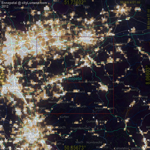
» Earth at Night: Flat Maps 2012, 2016