Großenhain night lights from space
Night Light of Großenhain (Saxony) from space (Germany) Src. Average luminocity for 10x10km area is 2.8936% and for 50x50km: 5.6964%.
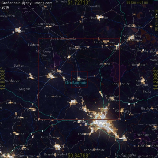
Analysis of Großenhain night lights 2016
Square area 10x10 km:
 0%
0%90-99
0.56%80-89
0.56%70-79
0%60-69
0.56%50-59
0.42%40-49
1.54%30-39
0.28%20-29
0.14%10-19
0.98%0-9
94.96%Square area 50x50 km:
0.68%90-99
0.8%80-89
0.5%70-79
0.74%60-69
0.83%50-59
0.83%40-49
0.96%30-39
0.82%20-29
1.07%10-19
3.27%0-9
89.5%Clear (daylight) street map image can be seen on geolist.org.
Map coordinates:
51° 43' 37.7" North, 12° 49' 49.4" East
51° 17' 22.2" North, 13° 32' 0.6" East
50° 50' 51.6" North, 14° 14' 11.9" East
Some cities around Großenhain sort by population:
• Riesa
16.9 km =10.5 mi,  276°
276°
• Meissen
14.8 km =9.2 mi,  196°
196°
• Weinböhla
13.9 km =8.6 mi,  170°
170°
• Moritzburg
17.7 km =11 mi,  144°
144°
• Radeburg
15.9 km =9.9 mi,  121°
121°
• Nünchritz
10.4 km =6.5 mi, 276°
• Zeithain
14.4 km =8.9 mi,  289°
289°
• Ebersbach
10.2 km =6.3 mi,  127°
127°
2916630 (p: 16,573)
Sources (retrieved 2019-11-25):
» Earth at Night: Flat Maps 2012, 2016