Griesheim night lights from space
Night Light of Griesheim (Hesse) from space (Germany) Src. Average luminocity for 10x10km area is 35.1644% and for 50x50km: 22.5703%.
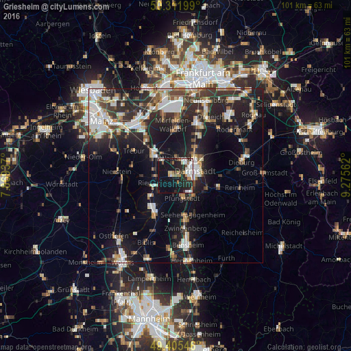
Analysis of Griesheim night lights 2016
Square area 10x10 km:
 8.16%
8.16%90-99
8.69%80-89
1.34%70-79
4.41%60-69
3.48%50-59
1.34%40-49
2.01%30-39
2.94%20-29
15.24%10-19
33.42%0-9
18.98%Square area 50x50 km:
4.28%90-99
4.6%80-89
1.77%70-79
1.95%60-69
2.33%50-59
2.17%40-49
2.94%30-39
3.67%20-29
8.47%10-19
16.94%0-9
50.89%Clear (daylight) street map image can be seen on geolist.org.
Map coordinates:
50° 18' 43.2" North, 7° 52' 9.7" East
49° 51' 39.1" North, 8° 34' 21" East
49° 24' 19.7" North, 9° 16' 32.2" East
Some cities around Griesheim sort by population:
• Darmstadt
5.7 km =3.5 mi,  77°
77°
• Pfungstadt
6.5 km =4 mi,  160°
160°
• Weiterstadt
4.9 km =3 mi,  13°
13°
• Groß-Gerau
9.3 km =5.8 mi,  316°
316°
• Riedstadt
6.2 km =3.9 mi,  241°
241°
• Büttelborn
5.9 km =3.7 mi, 323°
• Biebesheim
11.7 km =7.3 mi,  220°
220°
• Stockstadt am Rhein
9.2 km =5.7 mi,  231°
231°
2917412 (p: 25,287)
Sources (retrieved 2019-11-25):
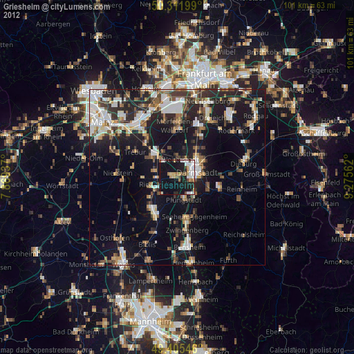
» Earth at Night: Flat Maps 2012, 2016