Groß-Gerau night lights from space
Night Light of Groß-Gerau (Hesse) from space (Germany) Src. Average luminocity for 10x10km area is 21.8627% and for 50x50km: 28.3109%.
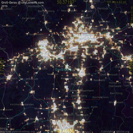
Analysis of Groß-Gerau night lights 2016
Square area 10x10 km:
 2.66%
2.66%90-99
4.2%80-89
0.56%70-79
1.54%60-69
1.96%50-59
2.66%40-49
1.68%30-39
1.54%20-29
6.44%10-19
48.18%0-9
28.57%Square area 50x50 km:
6.76%90-99
6.29%80-89
2.25%70-79
2.24%60-69
2.75%50-59
2.43%40-49
3.35%30-39
4.77%20-29
9.16%10-19
16.38%0-9
43.61%Clear (daylight) street map image can be seen on geolist.org.
Map coordinates:
50° 22' 19.1" North, 7° 46' 45.9" East
49° 55' 17" North, 8° 28' 57.2" East
49° 27' 59.6" North, 9° 11' 8.4" East
Some cities around Groß-Gerau sort by population:
• Rüsselsheim
8.7 km =5.4 mi,  330°
330°
• Griesheim
9.3 km =5.8 mi,  136°
136°
• Weiterstadt
7.8 km =4.8 mi,  104°
104°
• Riedstadt
9.8 km =6.1 mi,  174°
174°
• Raunheim
10.4 km =6.5 mi,  348°
348°
• Büttelborn
3.5 km =2.2 mi,  124°
124°
• Trebur
5.4 km =3.4 mi,  275°
275°
• Nackenheim
10.3 km =6.4 mi,  266°
266°
2915613 (p: 23,641)
Sources (retrieved 2019-11-25):
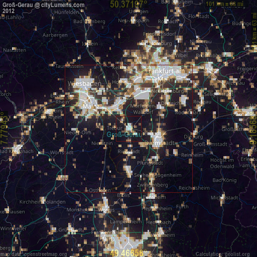
» Earth at Night: Flat Maps 2012, 2016