Gettorf night lights from space
Night Light of Gettorf (Schleswig-Holstein) from space (Germany) Src. Average luminocity for 10x10km area is 0.7452% and for 50x50km: 5.1378%.
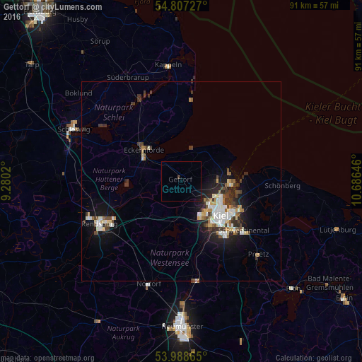
Analysis of Gettorf night lights 2016
Square area 10x10 km:
 0%
0%90-99
0%80-89
0%70-79
0%60-69
0%50-59
0%40-49
0.48%30-39
0%20-29
0%10-19
1.32%0-9
98.21%Square area 50x50 km:
0.85%90-99
1.08%80-89
0.51%70-79
0.43%60-69
0.46%50-59
0.49%40-49
0.72%30-39
1.13%20-29
1.2%10-19
3.37%0-9
89.77%Clear (daylight) street map image can be seen on geolist.org.
Map coordinates:
54° 48' 26.2" North, 9° 16' 48.7" East
54° 24' 0" North, 9° 58' 60" East
53° 59' 19.1" North, 10° 41' 11.3" East
Some cities around Gettorf sort by population:
• Kiel
13.2 km =8.2 mi,  131°
131°
• Eckernförde
12.1 km =7.5 mi,  309°
309°
• Kronshagen
9.8 km =6.1 mi,  138°
138°
• Altenholz
9.7 km =6 mi,  90°
90°
• Heikendorf
14.5 km =9 mi,  104°
104°
• Flintbek
17.5 km =10.9 mi,  162°
162°
• Schönkirchen
17.8 km =11.1 mi,  114°
114°
• Laboe
15.1 km =9.4 mi, 90°
2920776 (p: 6,297)
Sources (retrieved 2019-11-25):
» Earth at Night: Flat Maps 2012, 2016