Kiel night lights from space
Night Light of Kiel (Schleswig-Holstein) from space (Germany) Src. Average luminocity for 10x10km area is 61.8321% and for 50x50km: 4.5385%.
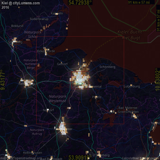
Analysis of Kiel night lights 2016
Square area 10x10 km:
 15.79%
90-99
17.79%80-89
6.27%70-79
6.27%60-69
6.64%50-59
6.27%40-49
6.02%30-39
11.4%20-29
12.66%10-19
10.28%0-9
0.63%Square area 50x50 km:
0.75%90-99
0.98%80-89
0.42%70-79
0.4%60-69
0.46%50-59
0.5%40-49
0.6%30-39
0.77%20-29
1.16%10-19
3.02%0-9
90.93%Clear (daylight) street map image can be seen on geolist.org.
Map coordinates:
54° 43' 45.8" North, 9° 25' 54.4" East
54° 19' 16.8" North, 10° 8' 5.6" East
53° 54' 33.1" North, 10° 50' 16.9" East
Some cities around Kiel sort by population:
• Kronshagen
3.6 km =2.2 mi,  291°
291°
• Altenholz
8.7 km =5.4 mi,  359°
359°
• Heikendorf
6.6 km =4.1 mi,  39°
39°
• Raisdorf
8.6 km =5.3 mi,  120°
120°
• Flintbek
9.1 km =5.7 mi,  209°
209°
• Schönkirchen
6.5 km =4 mi,  78°
78°
• Klausdorf
5.3 km =3.3 mi,  105°
105°
• Laboe
10.2 km =6.3 mi,  31°
31°
2891122 (p: 232,758)
Sources (retrieved 2019-11-25):
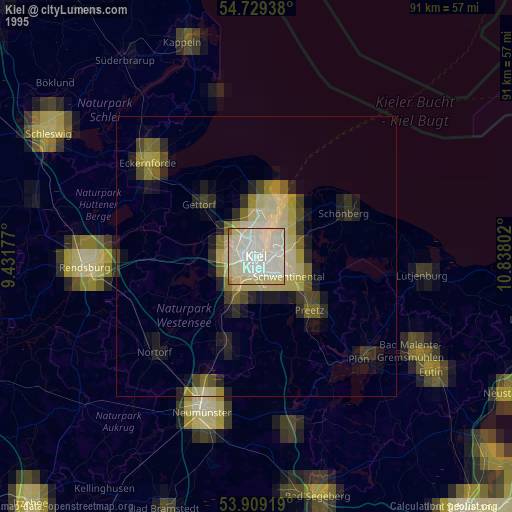
» NASA, Earths city lights 1995
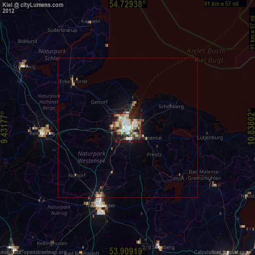
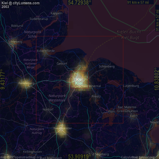
» NASA city lights 2003
» Earth at Night: Flat Maps 2012, 2016