Heikendorf night lights from space
Night Light of Heikendorf (Schleswig-Holstein) from space (Germany) Src. Average luminocity for 10x10km area is 33.9925% and for 50x50km: 4.2723%.
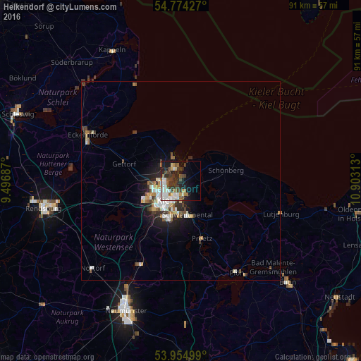
Analysis of Heikendorf night lights 2016
Square area 10x10 km:
 8.02%
8.02%90-99
7.89%80-89
1.5%70-79
3.01%60-69
4.01%50-59
3.63%40-49
4.51%30-39
8.52%20-29
8.9%10-19
14.66%0-9
35.34%Square area 50x50 km:
0.72%90-99
0.94%80-89
0.4%70-79
0.42%60-69
0.42%50-59
0.5%40-49
0.54%30-39
0.79%20-29
1.1%10-19
2.44%0-9
91.71%Clear (daylight) street map image can be seen on geolist.org.
Map coordinates:
54° 46' 27.4" North, 9° 29' 48.7" East
54° 22' 0" North, 10° 12' 0" East
53° 57' 18" North, 10° 54' 11.3" East
Some cities around Heikendorf sort by population:
• Kiel
6.6 km =4.1 mi,  219°
219°
• Kronshagen
8.4 km =5.2 mi,  243°
243°
• Altenholz
5.7 km =3.5 mi,  310°
310°
• Raisdorf
10 km =6.2 mi,  161°
161°
• Schönkirchen
4.3 km =2.7 mi,  149°
149°
• Gettorf
14.5 km =9 mi,  284°
284°
• Klausdorf
6.5 km =4 mi,  172°
172°
• Laboe
3.9 km =2.4 mi,  16°
16°
2907685 (p: 8,056)
Sources (retrieved 2019-11-25):
» Earth at Night: Flat Maps 2012, 2016